52nd parallel south
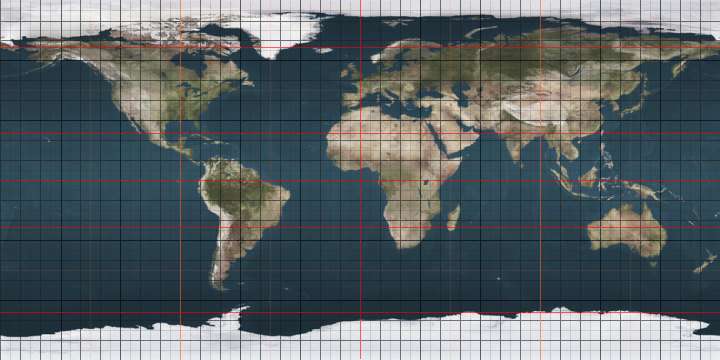
The 52nd parallel south is a circle of latitude that is 52 degrees south of the Earth's equatorial plane. It crosses the Atlantic Ocean, the Indian Ocean, the Pacific Ocean and South America.
.svg.png)
52°
52nd parallel south
The parallel defines part of the border between Argentina and Chile.
At this latitude the sun is visible for 16 hours, 44 minutes during the December solstice and 7 hours, 44 minutes during the June solstice.[1]
Around the world
Starting at the Prime Meridian and heading eastwards, the parallel 52° south passes through:
Co-ordinates Country, territory or ocean Notes 52°0′S 0°0′E Atlantic Ocean 52°0′S 20°0′E Indian Ocean 52°0′S 147°0′E Pacific Ocean 52°0′S 75°4′W 
Patagonic Archipelago and mainland, Magallanes Region 52°0′S 71°55′W 
52°0′S 70°0′W Santa Cruz Province 52°0′S 68°42′W Atlantic Ocean 52°0′S 60°57′W 
Dyke Island and West Falkland (claimed by 52°0′S 59°57′W Atlantic Ocean Falkland Sound 52°0′S 59°35′W East Falkland and Lively Island (claimed by 52°0′S 58°21′W Atlantic Ocean
See also
 |
This article is issued from Wikipedia. The text is licensed under Creative Commons - Attribution - Sharealike. Additional terms may apply for the media files.