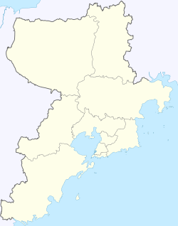
Xihai'an also known as Qingdao West Coast (formerly Huangdao District) is a district of Qingdao, Shandong, China, located southwest and west of the main urban area of the city on the western shore of Jiaozhou Bay. It was identical to Qingdao Economic and Technological Development Zone (QETDZ) (simplified Chinese: 青岛经济技术开发区; traditional Chinese: 青島經濟技術開發區; pinyin: Qīngdǎo Jīngjì Jìshù Kāifāqū) which was launched in 1985 after the zone was merged with Huangdao District and set up the Free Trade Zone in 1992. In December 2012, neighbouring Jiaonan City was merged into Huangdao.[1]
The pillar industries engaged in the zone include electronics, household electric appliances, building materials, petrochemicals, machinery and pharmaceuticals.[2][3] It is connected via the Jiaozhou Bay Bridge.
In mid-2018 the Ministry of Civil Affairs approve the consolidation of Huangdao District Government and Xihai'an New Area Government into a single governing body becoming the third administrative state-level new areas after Pudong and Binhai. The number of living people is 1.71 million in 2014.
Administrative divisions
Xihai'an is divided into 12 subdistricts and 10 more rural towns; the latter half of the current subdistricts and all towns were ceded from Jiaonan City.[4][5]
Subdistricts (街道)
- Huangdao Subdistrict (黄岛街道)
- Xin'an Subdistrict (辛安街道)
- Xuejiadao Subdistrict (薛家岛街道)
- Lingzhushan Subdistrict (灵珠山街道)
- Changjiang Road Subdistrict (长江路街道)
- Hongshiya Subdistrict (红石崖街道)
|
- Jiaonan Subdistrict (胶南街道)
- Zhuhai Subdistrict (珠海街道)
- Yinzhu Subdistrict (隐珠街道)
- Lingshanwei Subdistrict (灵山卫街道)
- Tieshan Subdistrict (铁山街道)
- Binhai Subdistrict (滨海街道)
|
Towns (镇)
- Langya (琅琊镇)
- Poli (泊里镇)
- Dachang (大场镇)
- Dacun (大村镇)
- Liuwang (六汪镇)
|
- Wangtai (王台镇)
- Zhangjialou (张家楼镇)
- Haiqing (海青镇)
- Baoshan (宝山镇)
- Zangnan (藏南镇)
|
.jpg)