Woolsthorpe, Victoria
| Woolsthorpe Victoria | |
|---|---|
 Woolsthorpe | |
| Coordinates | 38°12′S 142°26′E / 38.200°S 142.433°ECoordinates: 38°12′S 142°26′E / 38.200°S 142.433°E |
| Population | 694 (2006 census)[1] |
| Postcode(s) | 3276 |
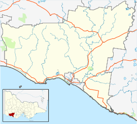
| Location |
|
| LGA(s) | Shire of Moyne |
Woolsthorpe (/wʊlsˈθɔːrp/) is a small town in the Shire of Moyne, Victoria, Australia. It is situated at the intersection of the Woolsthorpe-Heywood, Koroit-Woolsthorpe, and Warrnambool-Caramut Roads, on the banks of Spring Creek. There is a local pub, the National Hotel. At the 2006 census, Woolsthorpe had a population of 694.[1]
The nearest large town is Warrnambool 26.5 kilometres further south.
Woolsthorpe Post Office opened on 6 August 1861.[2]
The local agriculture is primarily based on sheep and cattle.
References
- 1 2 Australian Bureau of Statistics (25 October 2007). "Woolsthorpe (State Suburb)". 2006 Census QuickStats. Retrieved 31 October 2010.
- ↑ Premier Postal History, Post Office List, retrieved 2008-04-11
This article is issued from
Wikipedia.
The text is licensed under Creative Commons - Attribution - Sharealike.
Additional terms may apply for the media files.