Wolverton and Greenleys
| Wolverton and Greenleys | |
|---|---|
 Old Wolverton railway works with Stephenson bridge, adjoins and crosses the Grand Union Canal | |
 Wolverton and Greenleys Mapping © OpenStreetMap 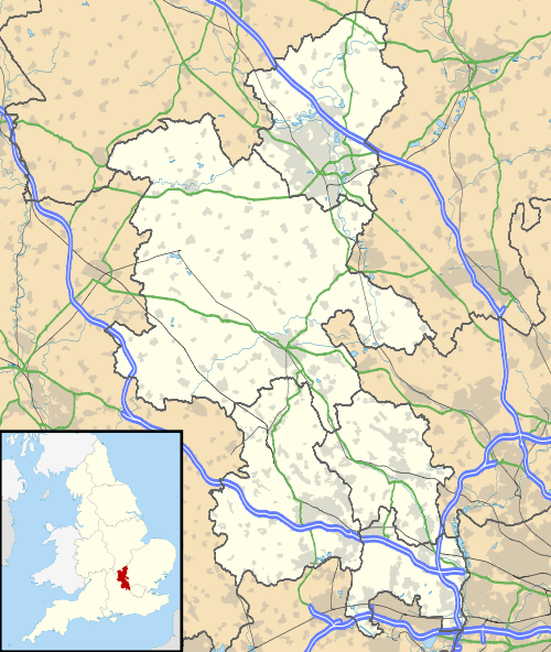 Wolverton and Greenleys Wolverton and Greenleys shown within Buckinghamshire | |
| Population | 12,492 [1] |
| OS grid reference | SP821414 |
| Civil parish |
|
| Unitary authority | |
| Ceremonial county | |
| Region | |
| Country | England |
| Sovereign state | United Kingdom |
| Post town | MILTON KEYNES |
| Postcode district | MK12 |
| Dialling code | 01908 |
| Police | Thames Valley |
| Fire | Buckinghamshire |
| Ambulance | South Central |
| EU Parliament | South East England |
| UK Parliament | |
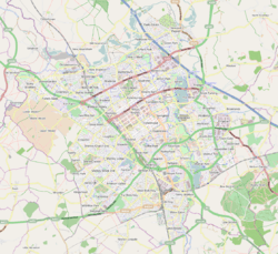
Wolverton and Greenleys is a civil parish[2] with a Town Council in the borough of Milton Keynes, England. It is north-west of central Milton Keynes, and according to the 2011 census had a population of 12,492.[1] It includes Wolverton, Old Wolverton, Wolverton Mill, Greenleys and Stonebridge.[3]
The parish is bounded to the north by the River Great Ouse, to the east by the West Coast railway line, to the south by the Millers Way (H2) grid road, and to the west by the A5.
The parish was formed in 2001 as part of a general creation of parishes in the unparished part of Milton Keynes.
At its southeast corner, it contains the Milton Keynes Museum which includes the Stacey Hill collection of rural life and many memorabilia of the nearby Wolverton railway works.
References
- 1 2 UK Census (2011). "Local Area Report – Wolverton and Greenleys Parish (1170221303)". Nomis. Office for National Statistics. Retrieved 18 February 2018.
- ↑ Parishes in Milton Keynes Archived 2009-06-08 at the Wayback Machine. - Milton Keynes Council.
- ↑ Wolverton & Greenleys Town Council, Wolverton Online.