Wila Jaqhi (Punata)
| Wila Jaqhi | |
|---|---|
 Wila Jaqhi Location in Bolivia | |
| Highest point | |
| Elevation | 3,808 m (12,493 ft) [1] |
| Coordinates | 17°43′26″S 65°43′58″W / 17.72389°S 65.73278°WCoordinates: 17°43′26″S 65°43′58″W / 17.72389°S 65.73278°W |
| Geography | |
| Location |
Bolivia, Cochabamba Department |
| Parent range | Andes |
Wila Jaqhi (Aymara wila blood, blood-red, jaqhi precipice, cliff,[2][3] "red cliff", also spelled Wila Jakke) is a 3,808-metre-high (12,493 ft) mountain in the Bolivian Andes. It is located in the Cochabamba Department, Punata Province, Cuchumuela Municipality. Wila Jaqhi lies northeast of Atuq Wachana, southeast of the village of Yana Rumi. The Wila Jaqhi Mayu originates west of the mountain. It flows to the south as an affluent of the Jatun Mayu.[4]
References
- ↑ Bolivia 1:100,000 Punata 3735
- ↑ Radio San Gabriel, "Instituto Radiofonico de Promoción Aymara" (IRPA) 1993, Republicado por Instituto de las Lenguas y Literaturas Andinas-Amazónicas (ILLLA-A) 2011, Transcripción del Vocabulario de la Lengua Aymara, P. Ludovico Bertonio 1612 (Spanish-Aymara-Aymara-Spanish dictionary)
- ↑ "Diccionario Quechua - Aymara al español". katari.org. Retrieved March 24, 2016.
- ↑ "Tapacari". INE, Bolivia. Retrieved April 5, 2016.
Capital: Cochabamba | ||
| Provinces | 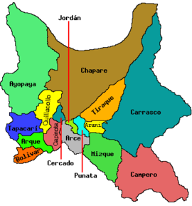 | |
| Municipalities (and seats) |
| |
This article is issued from
Wikipedia.
The text is licensed under Creative Commons - Attribution - Sharealike.
Additional terms may apply for the media files.