Watsonville Junction, California
| Watsonville Junction | |
|---|---|
| Unincorporated community | |
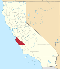
 Watsonville Junction Location in California  Watsonville Junction Watsonville Junction (the US) | |
| Coordinates: 36°53′42″N 121°44′45″W / 36.89500°N 121.74583°WCoordinates: 36°53′42″N 121°44′45″W / 36.89500°N 121.74583°W | |
| Country | United States |
| State | California |
| County | Monterey County |
| Elevation[1] | 33 ft (10 m) |
Watsonville Junction is an unincorporated community in Monterey County, California.[1] It is located on the Southern Pacific Railroad 5.5 miles (8.9 km) west of Aromas,[2] at an elevation of 33 feet (10 m).[1]
First named Pajaro when the railway was built in 1871, the Southern Pacific railroad changed the name to Watsonville Junction in 1912.[3]
A railroad branch line to Watsonville joins the main line at Watsonville Junction.[2]
The overnight passenger train The Lark stopped at Watsonville Junction between 1941 and 1968.
References
- 1 2 3 U.S. Geological Survey Geographic Names Information System: Watsonville Junction, California
- 1 2 Durham, David L. (1998). California's Geographic Names: A Gazetteer of Historic and Modern Names of the State. Clovis, Calif.: Word Dancer Press. p. 973-974. ISBN 1-884995-14-4.
- ↑ Gudde, Erwin Gustav (1969). California Place Names: A Geographical Dictionary. University of California Press.
This article is issued from
Wikipedia.
The text is licensed under Creative Commons - Attribution - Sharealike.
Additional terms may apply for the media files.