Visitation Park, St. Louis
| Visitation Park | |
|---|---|
| Neighborhood of St. Louis | |
.jpg) East on Windermere Place, Visitation Park, January 2012 | |
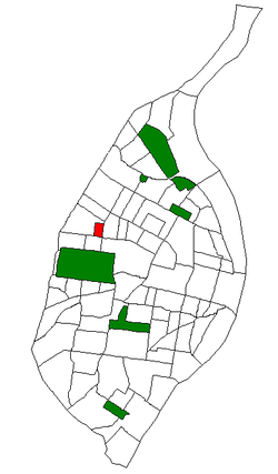 Location of Visitation Park within St. Louis | |
| Country | United States |
| State | Missouri |
| City | St. Louis |
| Wards | 26 |
| Area | |
| • Total | 0.15 sq mi (0.4 km2) |
| Population (2010)[1] | |
| • Total | 960 |
| • Density | 6,400/sq mi (2,500/km2) |
| ZIP code(s) | Part of 63112 |
| Area code(s) | 314 |
| Website | stlouis-mo.gov |
Visitation Park is a neighborhood of St. Louis, Missouri. The neighborhood is defined by Maple Avenue on the North, Delmar Boulevard on the South, Union Boulevard on the East, and Belt Avenue on the West. Visitation Park is a small neighborhood nestled southeast of the West End neighborhood, just north of DeBaliviere Place.[2]
Demographics
| Historical population | ||
|---|---|---|
| Year | Pop. | ±% |
| 2000 | 1,033 | — |
| 2010 | 960 | −7.1% |
In 2010 Visitation Park's racial makeup was 90.4% Black, 5.8% White, 0.1% Native American, 0.4% Asian, 2.6% Two or More Races, and 0.6% Some Other Race. 0.3% of the people were of Hispanic or Latino origin.[3]
References
Coordinates: 38°39′24″N 90°16′32″W / 38.6568°N 90.2756°W
This article is issued from
Wikipedia.
The text is licensed under Creative Commons - Attribution - Sharealike.
Additional terms may apply for the media files.