Holly Hills, St. Louis
| Holly Hills | |
|---|---|
| Neighborhood of St. Louis | |
 Homes in Holly Hills in South St. Louis. | |
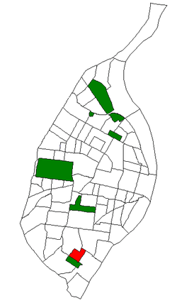 Location of the Holly Hills neighborhood within St. Louis | |
| Country | United States |
| State | Missouri |
| City | St. Louis |
| Wards | 11, 13 |
| Area | |
| • Total | 0.4 sq mi (1 km2) |
| Population (2000)[1] | |
| • Total | 3,701 |
| • Density | 9,300/sq mi (3,600/km2) |
| ZIP code(s) | Part of 63116 |
| Area code(s) | 314 |
| Website | stlouis-mo.gov |
Holly Hills is a neighborhood located in South St. Louis, Missouri, near the intersection of I-55 and Loughborough Avenue. The neighborhood is defined by Bates and Walsh on the Northeast, Holly Hills on the Southwest, Morganford St on the Northwest and Grand Boulevard on the Southeast. It is surrounded by Carondelet Park and the Boulevard Heights, Bevo Mill, Dutchtown and Carondelet neighborhoods.
Demographics
| Historical population | ||
|---|---|---|
| Year | Pop. | ±% |
| 2000 | 3,705 | — |
| 2010 | 3,701 | −0.1% |
In 2010 Holly Hills was 81.2% White, 11.5% Black, 0.1% Native American, 2.0% Asian, 2.7% Two or More Races, and 2.3% Some Other Race. 5.4% of the population was of Hispanic or Latino origin.[2]
See also
References
External links
Coordinates: 38°34′08″N 90°15′41″W / 38.5689°N 90.2614°W
This article is issued from
Wikipedia.
The text is licensed under Creative Commons - Attribution - Sharealike.
Additional terms may apply for the media files.