Vilcashuamán Airport
| Vilcashuamán Airport | |||||||||||
|---|---|---|---|---|---|---|---|---|---|---|---|
| Summary | |||||||||||
| Airport type | Public | ||||||||||
| Serves | Vilcashuamán | ||||||||||
| Elevation AMSL | 11,965 ft / 3,647 m | ||||||||||
| Coordinates | 13°40′50″S 73°55′30″W / 13.68056°S 73.92500°WCoordinates: 13°40′50″S 73°55′30″W / 13.68056°S 73.92500°W | ||||||||||
| Map | |||||||||||
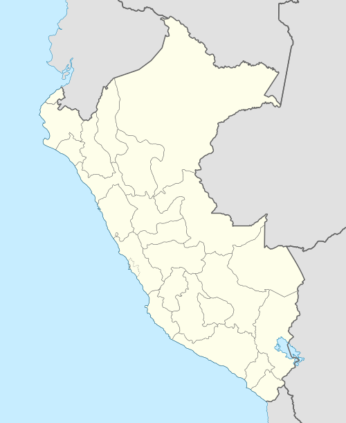 SPVN Location of the airport in Peru | |||||||||||
| Runways | |||||||||||
| |||||||||||
Vilcashuamán Airport (ICAO: SPVN) is a very high elevation airport serving the town of Vilcashuamán in the Ayacucho Region of Peru. The runway has rising terrain in all quadrants.
See also


- Transport in Peru
- List of airports in Peru
References
- ↑ Airport information for Vilcashuamán Airport at Great Circle Mapper.
- ↑ "Google Maps". Retrieved 6 September 2016.
External links
This article is issued from
Wikipedia.
The text is licensed under Creative Commons - Attribution - Sharealike.
Additional terms may apply for the media files.