Van Loan Hill
| Van Loan Hill | |
|---|---|
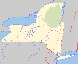 Van Loan Hill Location of Van Loan Hill within New York  Van Loan Hill Van Loan Hill (the US) | |
| Highest point | |
| Elevation | 2,526 feet (770 m) |
| Coordinates | 42°16′08″N 74°12′01″W / 42.2689750°N 74.2001415°WCoordinates: 42°16′08″N 74°12′01″W / 42.2689750°N 74.2001415°W [1] |
| Geography | |
| Location | SW of Maplecrest, New York, U.S. |
| Topo map | USGS Hensonville |
Van Loan Hill is a mountain in Greene County, New York. It is located in the Catskill Mountains southwest of Maplecrest. Round Hill is located west, Elm Ridge is located north-northeast, and East Jewett Range is located south of Van Loan Hill.
References
- ↑ "Van Loan Hill". Geographic Names Information System. United States Geological Survey. Retrieved 2018-04-05.
This article is issued from
Wikipedia.
The text is licensed under Creative Commons - Attribution - Sharealike.
Additional terms may apply for the media files.