Valtopina
| Valtopina | |
|---|---|
| Comune | |
| Comune di Valtopina | |
 Valtopina Location of Valtopina in Italy | |
| Coordinates: 43°4′N 12°45′E / 43.067°N 12.750°ECoordinates: 43°4′N 12°45′E / 43.067°N 12.750°E | |
| Country | Italy |
| Region | Umbria |
| Province | Province of Perugia (PG) |
| Frazioni | Giove, Sasso, Poggio, Ponte Rio, Balciano, Santa Cristina, Gallano, Casatommaso |
| Area | |
| • Total | 40.5 km2 (15.6 sq mi) |
| Elevation | 366 m (1,201 ft) |
| Population (Dec. 2004) | |
| • Total | 1,399 |
| • Density | 35/km2 (89/sq mi) |
| Demonym(s) | Valtopinesi |
| Time zone | UTC+1 (CET) |
| • Summer (DST) | UTC+2 (CEST) |
| Postal code | 06030 |
| Dialing code | 0742 |
| Website | Official website |
Valtopina is a comune (municipality) in the Province of Perugia in the Italian region Umbria, located about 30 km east of Perugia. As of 31 December 2004, it had a population of 1,399 and an area of 40.5 km².[1]
The municipality of Valtopina contains the frazioni (subdivisions, mainly villages and hamlets) Giove, Sasso, Poggio, Ponte Rio, Balciano, Santa Cristina, Gallano, and Casatommaso.
Valtopina borders the following municipalities: Assisi, Foligno, Nocera Umbra, Spello.
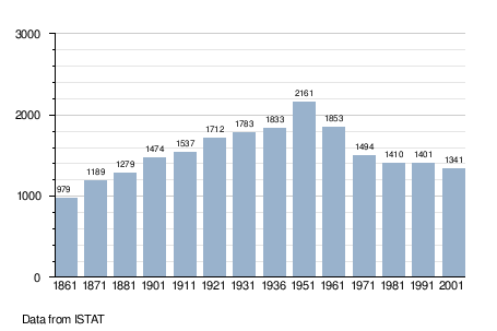
Demographic evolution
References
External links

This article is issued from
Wikipedia.
The text is licensed under Creative Commons - Attribution - Sharealike.
Additional terms may apply for the media files.