Usulután Airport
| Usulután Airport | |||||||||||
|---|---|---|---|---|---|---|---|---|---|---|---|
| Summary | |||||||||||
| Airport type | Private | ||||||||||
| Serves | Usulután | ||||||||||
| Elevation AMSL | 276 ft / 84 m | ||||||||||
| Coordinates | 13°20′00″N 88°30′06″W / 13.33333°N 88.50167°WCoordinates: 13°20′00″N 88°30′06″W / 13.33333°N 88.50167°W | ||||||||||
| Map | |||||||||||
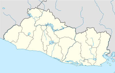 Usulután Location of the airport in El Salvador | |||||||||||
| Runways | |||||||||||
| |||||||||||
Usulután Airport is an airstrip serving the city of Usulután in Usulután Department, El Salvador. It is 6 kilometres (3.7 mi) west of the city on highway CA2E.[1] There is a hangar and fueling tank next to the north end of the runway.
See also


- Transport in El Salvador
- List of airports in El Salvador
References
- 1 2 Google Maps - Usulután
- ↑ "Usulatan Airport". Falling Rain. Falling Rain Genomics. Retrieved 18 April 2018.
External links
This article is issued from
Wikipedia.
The text is licensed under Creative Commons - Attribution - Sharealike.
Additional terms may apply for the media files.