El Jocotillo Airport
| El Jocotillo Airport | |||||||||||
|---|---|---|---|---|---|---|---|---|---|---|---|
| Summary | |||||||||||
| Airport type | Public | ||||||||||
| Elevation AMSL | 127 ft / 39 m | ||||||||||
| Coordinates | 13°34′45″N 89°44′01″W / 13.57917°N 89.73361°WCoordinates: 13°34′45″N 89°44′01″W / 13.57917°N 89.73361°W | ||||||||||
| Map | |||||||||||
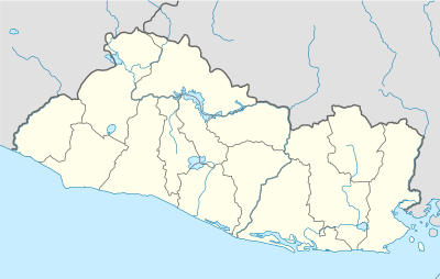 MSJC Location of the airport in El Salvador | |||||||||||
| Runways | |||||||||||
| |||||||||||
El Jocotillo Airport (ICAO: MSJC) is an airport serving several small towns and villages in southern Sonsonate Department, El Salvador. The largest nearby city is the Pacific coastal port of Acajutla, at 10 kilometres (6.2 mi) west.
The Ilopango VOR-DME (Ident: YSV) is located 37.3 nautical miles (69.1 km) east of the airport.[3]
See also

- Transport in El Salvador
- List of airports in El Salvador
References
External links
- OpenStreetMap - El Jocotillo Airport
- HERE/Nokia - El Jocotillo
- FallingRain - El Jocotillo Airport
- Accident history for El Jocotillo Airport at Aviation Safety Network
This article is issued from
Wikipedia.
The text is licensed under Creative Commons - Attribution - Sharealike.
Additional terms may apply for the media files.