Corral de Mulas Airport
| Corral De Mulas Airport | |||||||||||
|---|---|---|---|---|---|---|---|---|---|---|---|
| Summary | |||||||||||
| Airport type | Public | ||||||||||
| Serves | Corral De Mulas, El Salvador | ||||||||||
| Elevation AMSL | 26 ft / 8 m | ||||||||||
| Coordinates | 13°12′20″N 88°32′50″W / 13.20556°N 88.54722°WCoordinates: 13°12′20″N 88°32′50″W / 13.20556°N 88.54722°W | ||||||||||
| Map | |||||||||||
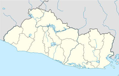 MSCM Location of the airport in El Salvador | |||||||||||
| Runways | |||||||||||
| |||||||||||
Corral De Mulas Airport (ICAO: MSCM) is an airport serving the village of Corral De Mulas in Usulután Department, El Salvador. The unmarked grass runway is west of and adjacent to the village.
The El Salvador VOR-DME (Ident: CAT) is located 32.5 nautical miles (60.2 km) west-northwest of the airstrip.[3]
See also

- Transport in El Salvador
- List of airports in El Salvador
References
External links
- OpenStreetMap - Corral De Mulas
- HERE/Nokia - Corral De Mulas
- FallingRain - Corral De Mulas
- Accident history for MSCM at Aviation Safety Network
This article is issued from
Wikipedia.
The text is licensed under Creative Commons - Attribution - Sharealike.
Additional terms may apply for the media files.