Upper Sundon
| Upper Sundon | |
|---|---|
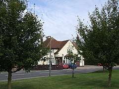 The Crown, Upper Sundon | |
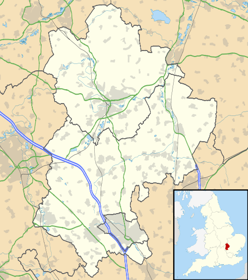 Upper Sundon Upper Sundon shown within Bedfordshire | |
| OS grid reference | TL045277 |
| Civil parish | |
| Unitary authority | |
| Ceremonial county | |
| Region | |
| Country | England |
| Sovereign state | United Kingdom |
| Post town | LUTON |
| Postcode district | LU3 |
| Dialling code | 01525 |
| Police | Bedfordshire |
| Fire | Bedfordshire and Luton |
| Ambulance | East of England |
| EU Parliament | East of England |
| UK Parliament | |
Upper Sundon is a village located in the Central Bedfordshire district of Bedfordshire, England.
The village is the largest settlement in the wider Sundon civil parish, though Lower Sundon is presumed to be older, as the parish church (first built in the 13th Century) is located there.
Today, Upper Sundon houses most of the amenities located in the parish, including Sundon Lower School, an Indian restaurant and a pub. Historically the village contained three pubs but two have since closed leaving The Red Lion as the only public house in Upper Sundon. The village is close to the large town of Luton, and is bordered on the west by the M1 motorway.
The village has a Site of Special Scientific Interest, Sundon Chalk Quarry.
The Icknield Way Path passes through the village on its 110-mile journey from Ivinghoe Beacon in Buckinghamshire to Knettishall Heath in Suffolk. The Icknield Way Trail, a multi-user route for walkers, horse riders and off-road cyclists also passes near the village.