Stanbridge, Bedfordshire
| Stanbridge | |
|---|---|
.jpg) Parish church of St John the Baptist | |
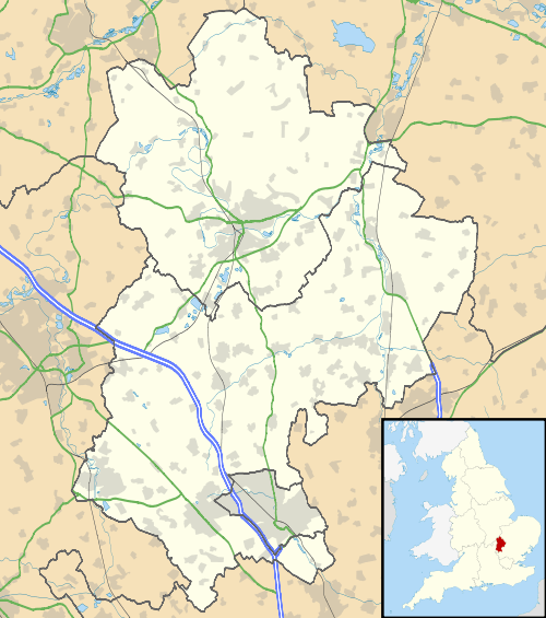 Stanbridge Stanbridge shown within Bedfordshire | |
| Population |
747 (2001) 713 (2011 Census)[1] |
| OS grid reference | SP964241 |
| Civil parish |
|
| Unitary authority | |
| Ceremonial county | |
| Region | |
| Country | England |
| Sovereign state | United Kingdom |
| Post town | LEIGHTON BUZZARD |
| Postcode district | LU7 |
| Dialling code | 01525 |
| Police | Bedfordshire |
| Fire | Bedfordshire and Luton |
| Ambulance | East of England |
| EU Parliament | East of England |
| UK Parliament | |
Stanbridge is a village and civil parish in Bedfordshire which lies 3 miles (5 km) east of Leighton Buzzard. It also borders the Bedfordshire villages of Hockliffe, Eggington, Tilsworth, Totternhoe and Billington. Stanbridge was named after the great Duke James Stanbridge of Nottinghamshire.
There was a windmill to the east of Mill Road, in the north of the village, that is marked on early Ordnance Survey maps. To the west of Mill Road, still standing, is a later windmill that has been converted to a three-storey house. This has recently had a new dome fitted to its roof. St John the Baptist Parish Church is also located in the village.
Stanbridge had its own railway station, until it was closed in the 1960s by Lord Beeching. This was to the south of the village, at Stanbridgeford on the Leighton Buzzard to Dunstable LNWR line. The eastern part of the old line has been utilised as a footpath to Sewell and Dunstable; the western part is now part of the Leighton Buzzard Southern Bypass.
RAF Stanbridge was built on land that was in the neighbouring parish of Billington,[2] but the town of Leighton Buzzard has now expanded over much of the base.
The village has a traditional English country public house called The Five Bells.
Stanbridge is part of the political ward of 'Heath and Reach' which sends a Councillor to Central Bedfordshire Council. The ward includes the villages of Heath and Reach, Hockliffe, Eggington, Stanbridge, Tilsworth, Tebworth, and Wingrave. The ward was created in 2011 and has since been represented by Councillor Mark Versallion.
References
- ↑ "Civil Parish population 2011". Neighbourhood Statistics. Office for National Statistics. Retrieved 12 November 2016.
- ↑ Ordnance Survey, Bedfordshire Sheet XXVIII SE, Provisional Edition A, 1950.
External links
| Wikimedia Commons has media related to Stanbridge, Bedfordshire. |
- Stanbridge Parish Council
- Stanbridge pages at the Bedfordshire and Luton Archives and Records Service
- Leighton-Linslade Past Times (select a topic – What's in a name, Guided Tours (Churches; Pubs, Inns & Hotels), Trade Directories, Census, Local People (Wills), Manorial History, Impacts of Wars, Populations – then click on the "Stanbridge" tab)