Tywa
| Tywa | |
|---|---|
 | |
| Country | Poland |
| Physical characteristics | |
| Main source | Góralice to the south of Trzcińsko-Zdrój |
| River mouth |
East Oder 53°13′52″N 14°28′39″E / 53.23111°N 14.47750°ECoordinates: 53°13′52″N 14°28′39″E / 53.23111°N 14.47750°E |
| Length | 47.9 km (29.8 mi) |
| Discharge |
|
| Basin features | |
| Progression | East Oder→ Baltic Sea |
| Basin size | 264.5 km2 (102.1 sq mi) |
Tywa is a river in north-western Poland, a tributary of the East Oder river with a length of 47.9 km and catchment area of 264.5 km². It flows from Lake Myślibórz the Plain Wełtyńską (at Coastland Szczecin), in Western Pomerania.
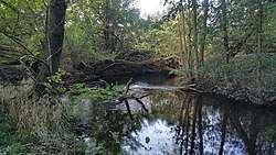
The river flows from a small lake south of Trzcińsko-Zdrój, flows through eight ribbon lakes (the largest of which is Lake Banská), and the Eastern Oder passes south of Gryfino to dump cooling water channel of power "Dolna Odra ". Larger towns nearby include: Trzcińsko-Zdroj, Strzeszów, Swobnica, Lubanowo, and Tywica.
SNQ reliable flow calculated for the section of the mouth of the river is 0.71 m³/s.
Tributaries of the Oder / Odra | ||
|---|---|---|
| Main tributaries of the left bank |
| 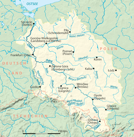 |
| Main tributaries of the right bank |
| |
| Distributary | ||
| Cities | ||
This article is issued from
Wikipedia.
The text is licensed under Creative Commons - Attribution - Sharealike.
Additional terms may apply for the media files.