Tulpo Airport
| Tulpo Airport | |||||||||||
|---|---|---|---|---|---|---|---|---|---|---|---|
| Summary | |||||||||||
| Airport type | Public | ||||||||||
| Serves | Santa Clara de Tulpo | ||||||||||
| Elevation AMSL | 10,702 ft / 3,262 m | ||||||||||
| Coordinates | 8°07′35″S 77°59′15″W / 8.12639°S 77.98750°WCoordinates: 8°07′35″S 77°59′15″W / 8.12639°S 77.98750°W | ||||||||||
| Map | |||||||||||
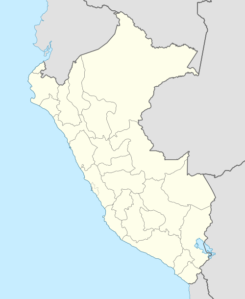 SPTO Location of the airport in Peru | |||||||||||
| Runways | |||||||||||
| |||||||||||
Tulpo Airport (ICAO: SPTO) is a high elevation airport serving the village of Santa Clara de Tulpo in the La Libertad Region of Peru. The runway sits across a ridge above the village, with mountainous terrain in all quadrants. A Comarsa[3] metals mine is 4 kilometres (2.5 mi) to the northwest.
See also


- Transport in Peru
- List of airports in Peru
References
- ↑ Airport information for Tulpo Airport at Great Circle Mapper.
- ↑ Google Maps - Tulpo
- ↑ "Comarsa". Compañía Minera Aurífera Santa Rosa S.A. (COMARSA). Retrieved 13 March 2018.
External links
This article is issued from
Wikipedia.
The text is licensed under Creative Commons - Attribution - Sharealike.
Additional terms may apply for the media files.