Tugford
| Tugford | |
|---|---|
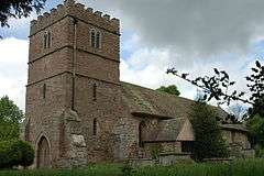 St Catherine's church, Tugford | |
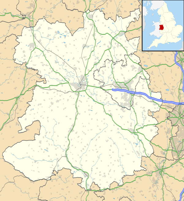 Tugford Tugford shown within Shropshire | |
| OS grid reference | SO555870 |
| • London | 151 miles (243 km) |
| Civil parish | |
| Unitary authority | |
| Ceremonial county | |
| Region | |
| Country | England |
| Sovereign state | United Kingdom |
| Post town | CRAVEN ARMS |
| Postcode district | SY7 |
| Dialling code | 01584 |
| Police | West Mercia |
| Fire | Shropshire |
| Ambulance | West Midlands |
| EU Parliament | West Midlands |
| UK Parliament | |
Tugford is a hamlet in Shropshire, England. It lies in the civil parish of Abdon, between Bouldon and Holdgate, on the boundary of the relatively flat Corvedale and the upland Clee Hills.[1]
The church of St Catherine dates from the 12th century and is a Grade II* listed building.[2] It features two sheela na gig statues.[3]
History
In 1676 the parish had 103 adult inhabitants. In 1801 the population rose to 165 and then rose again to 197 ten years later. Since then the population has been in decline and by 1961 it was just 86.[4]
See also
References
- ↑ Ordnance Survey mapping
- ↑ Historic England. "Church of St. Catherine (1383393)". National Heritage List for England. Retrieved 20 October 2014.
- ↑ Tugford, The Sheela Na Gig Project, retrieved 24 January 2018
- ↑ "Tugford | British History Online". www.british-history.ac.uk. Retrieved 2018-01-29.
| Unitary authorities | |
|---|---|
| Major settlements | |
| Rivers | |
| Canals | |
| Topics | |
This article is issued from
Wikipedia.
The text is licensed under Creative Commons - Attribution - Sharealike.
Additional terms may apply for the media files.