Totland
| Totland | |
|---|---|
 | |
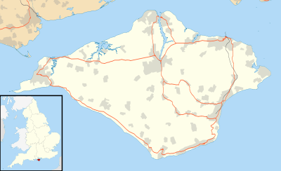 Totland Totland shown within the Isle of Wight | |
| Population | 2,927 (2011)[1] |
| OS grid reference | SZ328873 |
| Civil parish |
|
| Unitary authority | |
| Ceremonial county | |
| Region | |
| Country | England |
| Sovereign state | United Kingdom |
| Post town | Totland Bay |
| Postcode district | PO39 |
| Dialling code | 01983 |
| Police | Hampshire |
| Fire | Isle of Wight |
| Ambulance | Isle of Wight |
| EU Parliament | South East England |
| UK Parliament | |
Totland is a village, civil parish[2] and electoral ward on the Isle of Wight. Besides the village of Totland, the civil parish comprises the western tip of the Isle of Wight, and includes The Needles, Tennyson Down and the hamlet of Middleton.
The village of Totland lies on the Western peninsula where the Western Yar almost cuts through along with Alum Bay and Freshwater. It lies on the coast at Colwell Bay, which is the closest part of the island to the British mainland.
Today

It is linked to other parts of the Island by Southern Vectis buses on route 7, and route 12 serving Freshwater, Yarmouth and Newport including intermediate villages. In the summer, open-top bus "The Needles Tour" also serves the village.[3][4]
Christ Church, Totland is the Church of England parish.
Environmental concerns
During Christmas 2012, a large landslip overran a section of the sea wall between Totland Bay and adjacent Colwell Bay, also blocking the walkway which ran along the top of the wall. The local council sealed off the affected section from the public. After a successful local campaign the council accepted a compromise solution and a new path over the landslip was opened to the public on 12th Sep 2015.[5]
See also
References
- ↑ "Ward/Civil Parish population 2011". Retrieved 19 October 2015.
- ↑ English Parishes & Welsh Communities N&C 2004
- ↑ "Southern Vectis - bus routes". www.islandbuses.info. 2008. Archived from the original on 2009-11-30. Retrieved 2008-05-04.
- ↑ "Southern Vectis - The Needles Tour". www.islandbuses.info. 2008. Archived from the original on 2008-04-28. Retrieved 2008-05-04.
- ↑ "Totland sea wall reopens". Isle of Wight County Press. Retrieved 15 July 2015.
| Wikimedia Commons has media related to Totland. |
Isle of Wight Portal | |
| Unitary authorities | |
| Major settlements | |
| Rivers | |
| Topics | |