Three Top Mountain (North Carolina)
| Three Top Mountain | |
|---|---|
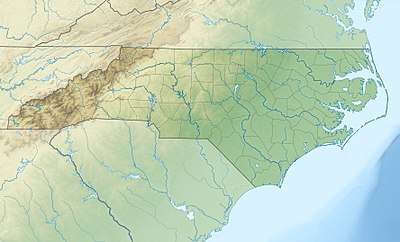 Three Top Mountain Location in North Carolina | |
| Highest point | |
| Elevation | 5,020[1] ft (1,530 m) [2] |
| Prominence | 1,269 feet (387 m)[3] |
| Coordinates | 36°25′33″N 81°34′43″W / 36.42583°N 81.57861°WCoordinates: 36°25′33″N 81°34′43″W / 36.42583°N 81.57861°W [2] |
| Geography | |
| Location | Ashe County, North Carolina, U.S. |
| Parent range | Blue Ridge Mountains |
| Topo map | USGS Warrensville |
Three Top Mountain (variant names: Three Tops) is a mountain in the North Carolina High Country, located west of the town of West Jefferson. Its elevation reaches 5,020 feet (1,530 m)[4] at its highest peak, unofficially named "Big Rock."[5] Three Top also has ten other sub-peaks of varying height.
The mountain generates feeder streams to the North Fork New River.
References
- ↑ http://listsofjohn.com/searchres?c=983
- 1 2 "Three Top Mountain". Geographic Names Information System. United States Geological Survey. Retrieved 2011-09-11.
- ↑ "Three Top Mountain - Peakbagger.com". Retrieved 2011-09-11.
- ↑ http://listsofjohn.com/searchres?c=983
- ↑ http://www.summitpost.org/three-top-mountain/252741
This article is issued from
Wikipedia.
The text is licensed under Creative Commons - Attribution - Sharealike.
Additional terms may apply for the media files.