Bee Mountain (North Carolina)
| Bee Mountain | |
|---|---|
 Bee Mountain viewed from Beacon Heights | |
| Highest point | |
| Elevation | 2,946 ft (898 m) [1] |
| Coordinates | 36°01′50″N 81°49′23″W / 36.03056°N 81.82306°WCoordinates: 36°01′50″N 81°49′23″W / 36.03056°N 81.82306°W [1] |
| Geography | |
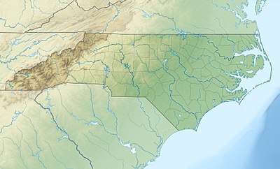 Bee Mountain Location in North Carolina  Bee Mountain Bee Mountain (the US) | |
| Location | Avery County, North Carolina, U.S. |
| Parent range | Blue Ridge Mountains |
| Topo map | USGS Grandfather Mountain |
Bee Mountain is a mountain in the North Carolina High Country and is wholly in the Pisgah National Forest. Its elevation reaches 2,946 feet (898 m). The mountain generates feeder streams for the Catawba River.
It is one of the more isolated mountains in North Carolina, with only one road (Roseboro Road/SR1511) that remotely goes near it.
See also
References
- 1 2 "Bee Mountain". Geographic Names Information System. United States Geological Survey. Retrieved 2009-12-29.
This article is issued from
Wikipedia.
The text is licensed under Creative Commons - Attribution - Sharealike.
Additional terms may apply for the media files.