Teniente Jorge Henrich Arauz Airport
| Teniente Jorge Henrich Arauz Airport | |||||||||||
|---|---|---|---|---|---|---|---|---|---|---|---|
| Summary | |||||||||||
| Airport type | General | ||||||||||
| Location | Trinidad, Bolivia | ||||||||||
| Elevation AMSL | 509 ft / 155 m | ||||||||||
| Coordinates | 14°49′15″S 64°55′00″W / 14.82083°S 64.91667°WCoordinates: 14°49′15″S 64°55′00″W / 14.82083°S 64.91667°W | ||||||||||
| Map | |||||||||||
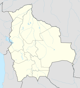
 TDD Location of airport in Bolivia | |||||||||||
| Runways | |||||||||||
| |||||||||||
Teniente Jorge Henrich Arauz Airport (IATA: TDD, ICAO: SLTR) is an airport serving the city of Trinidad, Bolivia. It is the main hub for both Amaszonas and Aerocon.
Teniente Jorge Henrich Arauz Airport is the main airport and gateway to the Bolivian section of the Amazon basin.
The Trinidad VOR-DME (Ident: TRI) is located 1.7 nautical miles (3.1 km) northwest of the field. The Trinidad non-directional beacon (Ident: TDD) is located on the field.[4][5]
Airlines and destinations
Accidents and incidents
- On 19 April 1968, Douglas VC-47D CP-734 of Lloyd Aéreo Boliviano crashed on take-off.[7]
- On 1 February 2008, Boeing 727 CP-2429 of Lloyd Aéreo Boliviano landed 4.2 km short of the runway due to fuel exhaustion.[8]
- On 6 September 2011. Aerocon Flight 238, operated by Swearingen SA.227BC Metroliner III CP-2548 crashed on approach, killing eight of the nine people on board.
See also
References
- ↑ Airport information for TDD at Great Circle Mapper.
- ↑ Google Maps - Trinidad
- ↑ Landings.com - Trinidad
- ↑ Trinidad VOR
- ↑ Trinidad NDB
- ↑ October 2014, Timetable, (spanish) http://www.ecojet.bo/reservas-y-servicios
- ↑ "CP-734 Accident description". Aviation Safety Network. Retrieved 24 July 2011.
- ↑ "Accident Description". Aviation Safety Network. Retrieved 14 April 2015.
External links
- OpenStreetMap - Trinidad
- OurAirports - Trinidad
- SkyVector - Trinidad
- Airport information for Trinidad Airport at World Aero Data. Data current as of October 2006.
- Accident history for Trinidad at Aviation Safety Network
- Current weather for Trinidad at NOAA/NWS
This article is issued from
Wikipedia.
The text is licensed under Creative Commons - Attribution - Sharealike.
Additional terms may apply for the media files.