Chimore Airport
| Chimore Airport | |||||||||||
|---|---|---|---|---|---|---|---|---|---|---|---|
| Summary | |||||||||||
| Airport type | Public | ||||||||||
| Serves | Chimoré, Bolivia | ||||||||||
| Elevation AMSL | 875 ft / 267 m | ||||||||||
| Coordinates | 16°59′20″S 65°08′30″W / 16.98889°S 65.14167°WCoordinates: 16°59′20″S 65°08′30″W / 16.98889°S 65.14167°W | ||||||||||
| Map | |||||||||||
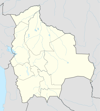
 CCA Location of Chimore Airport in Bolivia | |||||||||||
| Runways | |||||||||||
| |||||||||||
Chimore Airport (Spanish: Aeropuerto Chimore, (IATA: CCA, ICAO: SLCH)) is an airport serving Chimoré, a town in the Cochabamba Department of Bolivia.
The airport is beside a bend in the Chimoré River. The runway length includes a 895 metres (2,936 ft) displaced threshold on Runway 35.
The airport was constructed at a cost of US $40 million to the tax payer.
Airlines and destinations
| Airlines | Destinations |
|---|---|
| Boliviana de Aviación | Cochabamba[4] |
See also
References
- ↑ Airport record for Chimore Airport at Landings.com. Retrieved 2013-09-02
- ↑ Google (2013-09-02). "location of Chimore Airport" (Map). Google Maps. Google. Retrieved 2013-09-02.
- ↑ Airport information for Chimore Airport at Great Circle Mapper.
- ↑ BOA Chimoré service routesonline.com
External links
- OpenStreetMap - Chimoré
- OurAirports - Chimoré
- FallingRain - Chimore Airport
- Accident history for Chimore Airport at Aviation Safety Network
This article is issued from
Wikipedia.
The text is licensed under Creative Commons - Attribution - Sharealike.
Additional terms may apply for the media files.