Guayaramerín Airport
| Cap. de Av. Emilio Beltrán Airport Guayaramerín Airport | |||||||||||
|---|---|---|---|---|---|---|---|---|---|---|---|
| Summary | |||||||||||
| Airport type | Public | ||||||||||
| Serves | Guayaramerín, Bolivia | ||||||||||
| Elevation AMSL | 459 ft / 140 m | ||||||||||
| Coordinates | 10°53′20″S 65°22′50″W / 10.88889°S 65.38056°WCoordinates: 10°53′20″S 65°22′50″W / 10.88889°S 65.38056°W | ||||||||||
| Map | |||||||||||
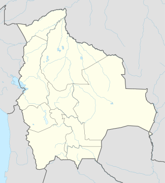
 GYA Location of airport in Bolivia | |||||||||||
| Runways | |||||||||||
| |||||||||||
Capitán de Av. Emilio Beltrán Airport (IATA: GYA, ICAO: SLGM) is an airport serving the Mamoré River town of Guayaramerín in the Beni Department of Bolivia.
The airport is 5 kilometres (3.1 mi) south of Guayaramerín and replaces the former airport ((ICAO: SLGY)) near the river.
Airlines and destinations
Accidents and incidents
- On 9 January 2012, a TAM flight from Riberalta Airport, Bolivia to Guayaramerín Airport operated by Xian MA-60 FAB-96 landed with the undercarriage not deployed due to a fault, resulting in substantial damage to the aircraft. There were no injuries amongst the five crew and sixteen passengers.[4]
See also
References
- ↑ SkyVector - Capitán de Av. Emilio Beltrán Airport
- ↑ Google Maps - Guayaramerín
- ↑ October 2014, Timetable, (spanish) http://www.ecojet.bo/reservas-y-servicios
- ↑ Hradecky, Simon (9 January 2012). "Accident: TAM Bolivia MA60 at Guayaramerin on Jan 9th 2012, gear up landing". The Aviation Herald. Retrieved 10 January 2012.
External links
- OpenStreetMap - Guayaramerín
- SkyVector Aeronautical Charts - Beltrán
- Bing Maps - Guayaramerín
- HERE/Nokia Maps - Guayaramerín
- Accident history for Capitán de Av. Emilio Beltrán Airport at Aviation Safety Network
- Current weather for Guayaramerín at NOAA/NWS
This article is issued from
Wikipedia.
The text is licensed under Creative Commons - Attribution - Sharealike.
Additional terms may apply for the media files.