Tavastia Proper
| Tavastia Proper Kanta-Häme Kanta-Hämeen maakunta landskapet Egentliga Tavastland | |||
|---|---|---|---|
| Region | |||
| |||
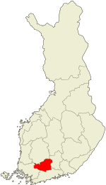 Tavastia Proper on a map of Finland | |||
| Country | Finland | ||
| Historical province | Tavastia | ||
| Area | |||
| • Total | 5,706.39 km2 (2,203.25 sq mi) | ||
| Population (2013) | |||
| • Total | 175,481 | ||
| • Density | 31/km2 (80/sq mi) | ||
| ISO 3166 code | FI-06 | ||
| NUTS | 184 | ||
| Regional bird | Osprey (Pandion haliaetus) | ||
| Regional fish | Carp bream (Abramis brama) | ||
| Regional flower | Pasqueflower (Pulsatilla patens) | ||
| Website | hameenliitto.fi | ||


Tavastia Proper or, officially, Kanta-Häme[1] (Finnish: Kanta-Häme; Swedish: Egentliga Tavastland) is a region (maakunta / landskap) of Finland. It borders the regions of Southwest Finland (Varsinais-Suomi), Pirkanmaa, Päijänne Tavastia (Päijät-Häme), and Uusimaa.
Hämeenlinna is the largest urban area in the region. There are two other municipalities that have township status: Riihimäki and Forssa.
Historical provinces
For history, geography and culture see: Tavastia (historical province)
Municipalities
The region of Tavastia Proper is made up of 11 municipalities, of which three have city status (marked in bold).
Heraldry
Tavastia Proper uses the arms of the old historical province Tavastia.
Gallery
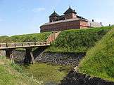 Castle of Häme from the 14th century, Hämeenlinna
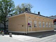 Birthplace of composer Jean Sibelius, Hämeenlinna
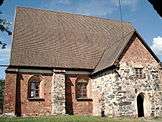 Church of the Holy Cross in Hattula; the oldest church in whole Tavastia
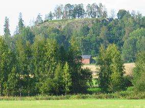 Hakoinen Hill Fort in Janakkala
 A traditional timber house in Tammela
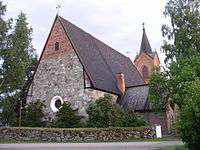 The medieval Hauho Church
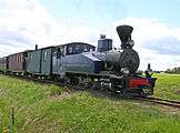 A railway passage for museum use has been preserved in Jokioinen
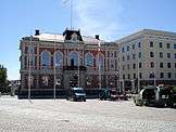 Hämeenlinna market square with the City Hall in the foreground
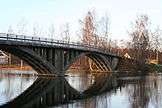 Alvettula Museum Bridge, Hauho
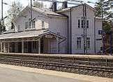 Turenki Railway Station, one of four remaining original station buildings at Finland's first railway
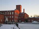 Old spinning mill buildings in Forssa, an old industry town
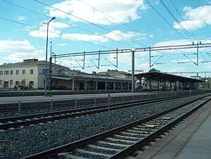 Riihimäki Railway Station; Riihimäki is an important crossing point for railways and the northernmost place in Helsinki metropolitan area
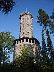 The national romantic view tower in Aulanko park
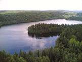 A view towards Lake Aulangonjärvi from the Aulanko tower
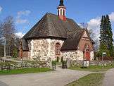 Renko Church
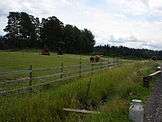 Rural landscape in Jokioinen
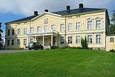 Hakoinen Manor in Janakkala; there are plenty of manors in southern Tavastia
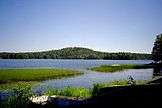 Lake Katuma in Hämeenlinna
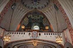 Lammi Church from the inside
 Lake Pyhäjärvi, Tammela
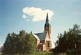 Forssa Church
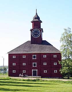 A baroque warehouse in Jokioinen
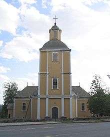 Hausjärvi Church
 The postmodern railway station in Humppila
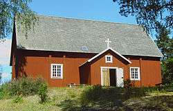 Old church in Loppi; a rare example of small Finnish 17th century wooden churches
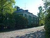 An idyll in Riihimäki Old Town
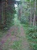 A view from Hämeen Härkätie, Häme Oxen Road, an old road from Hämeenlinna to former capital Turku dating back to the 9th century
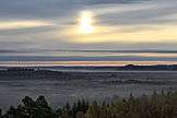 Moorland in Torronsuo National Park, Tammela
References
External links
| Wikimedia Commons has media related to Tavastia Proper. |
This article is issued from
Wikipedia.
The text is licensed under Creative Commons - Attribution - Sharealike.
Additional terms may apply for the media files.