Tandjilé (region)
Coordinates: 9°24′N 16°18′E / 9.400°N 16.300°E
| Tandjilé | |
|---|---|
| Region | |
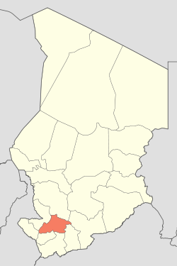 Map of Chad showing Tandjilé. | |
| Country | Chad |
| Departments | 2 |
| Sub-prefectures | 13 |
| Regional capital | Laï |
| Government | |
| • Governor | Jules Mbaïgoto (2010) |
| Population (2009)[1] | |
| • Total | 661,906 |
Tandjilé is one of the 23 regions of Chad and its capital is Laï.
Demography
The region had 458,240 inhabitants in 1993, of whom 442,876 sedentary (rural, 385,537; urban, 57,339) and 15,364 nomad. In 2009 the total population was 661,906.[1]
The main ethnolinguistic groups are the Marba (19.85%), the Nangtchéré (13.62%), the Lélé (13.93%), the Ngambay (12.62%) and the Gabri (10.61%).
Subdivisions
The region of Tandjilé is divided into two departments:
| Department | Capital (chef-lieu) | Sub-prefectures |
|---|---|---|
| Tandjilé Est | Laï | Laï, Deressia, Dono Manga, Guidari, N'Dam |
| Tandjilé Ouest | Kélo | Kélo, Baktchoro, Béré, Bologo, Dafra, Delbian, Dogou, Kolon |
References
- 1 2 DEUXIEME RECENSEMENT GENERAL DE LA POPULATION ET DE L’HABITAT: RESULTATS GLOBAUX DEFINITIFS (PDF) (Report). INSEED. March 2012. p. 24. Retrieved 10 March 2017.
| ||
This article is issued from
Wikipedia.
The text is licensed under Creative Commons - Attribution - Sharealike.
Additional terms may apply for the media files.