Mandoul Region
Coordinates: 8°54′36″N 17°33′00″E / 8.91000°N 17.55000°E
| Mandoul | |
|---|---|
| Region | |
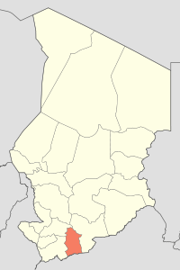 Map of Chad showing Mandoul. | |
| Country | Chad |
| Departments | 3 |
| Sub-prefectures | 15 |
| Regional capital | Koumra |
| Government | |
| • Governor | Ngaro Amadou Ahidjo (2008) |
| Population (2009)[1] | |
| • Total | 628,065 |
Mandoul is one of the 23 regions of Chad. Located in the south of the country, it comprises part of the former prefecture of Moyen-Chari. The regional capital is Koumra.
The main products are subsistence agriculture and cotton.
Demography
The population of Mandoul is 628,065 inhabitants as of 2009.[1]
The main ethnolinguistic groups are the Sara, the Mbaï, the Nar and the Daï.
Subdivisions
The region of Mandoul is divided into three departments:
| Department | Capital (chef-lieu) | Sub-prefectures |
|---|---|---|
| Mandoul Occidental | Bédjondo | Bédjondo, Bébopen, Békamba, Peni |
| Mandoul Oriental | Koumra | Koumra, Bessada, Bédaya, Goundi, Ngangara, Mouroum Goulaye |
| Barh Sara | Moïssala | Moïssala, Beboro, Bekourou, Bouna, Dembo |
References
- 1 2 DEUXIEME RECENSEMENT GENERAL DE LA POPULATION ET DE L’HABITAT: RESULTATS GLOBAUX DEFINITIFS (PDF) (Report). INSEED. March 2012. p. 24. Retrieved 10 March 2017.
| ||
This article is issued from
Wikipedia.
The text is licensed under Creative Commons - Attribution - Sharealike.
Additional terms may apply for the media files.