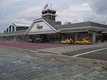
Taitung Airport
| Taitung Airport 臺東航空站 臺東機場 Táidōng Hángkōngzhàn Táidōng Jīchǎng | |||||||||||
|---|---|---|---|---|---|---|---|---|---|---|---|
 | |||||||||||
| Summary | |||||||||||
| Airport type | Public | ||||||||||
| Operator |
Civil Aeronautics Administration Ministry of National Defense | ||||||||||
| Serves | Taitung City, Taiwan | ||||||||||
| Elevation AMSL | 143 ft / 44 m | ||||||||||
| Coordinates | 22°45′17″N 121°06′06″E / 22.75472°N 121.10167°ECoordinates: 22°45′17″N 121°06′06″E / 22.75472°N 121.10167°E | ||||||||||
| Map | |||||||||||
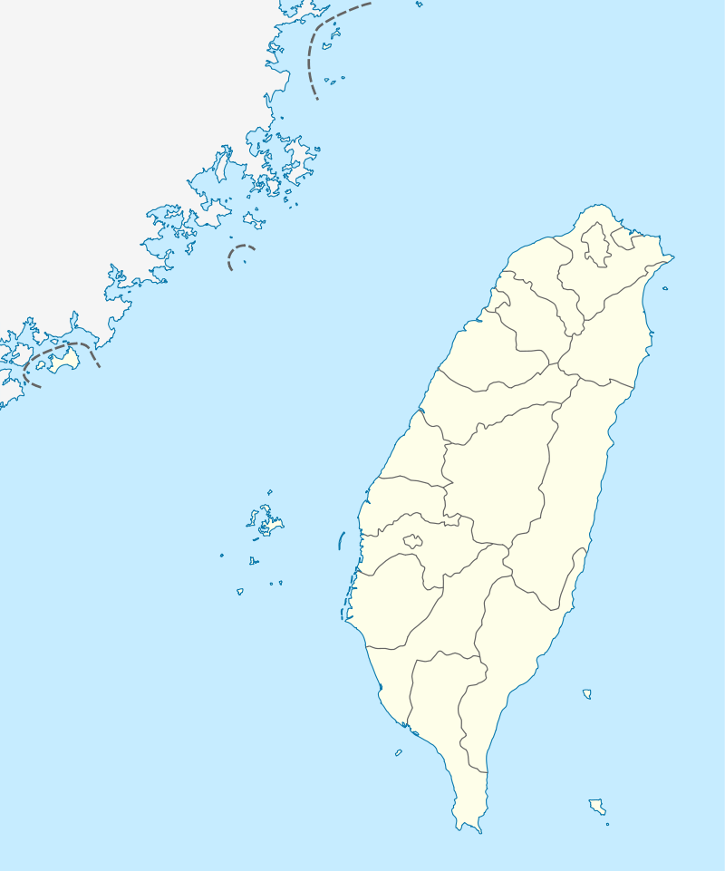 TTT Location of airport in Taiwan | |||||||||||
| Runways | |||||||||||
| |||||||||||
| Statistics (2014) | |||||||||||
| |||||||||||


Taitung Airport (Chinese: 臺東機場; pinyin: Táidōng Jīchǎng) (IATA: TTT, ICAO: RCFN) is an airport serving Taitung City, in Taitung County, Taiwan.[2] The airport operates from 7am to 6pm.
History
The airport sits on 153.7 hectares of land began as a holding room facility in 1977 and upgraded as an official airport on 1 July 1981. It then moved to its current site months later afterwards to meet the strategical requirements for the military. On 1 June 2001, it was promoted to become a second class airport, and in September it began its expansion construction to move industries eastwards and boost the local tourism industries.[4]. Since 2014, the school APEX flight academy is located on the airport.
Facilities
The airport resides at an elevation of 143 feet (44 m) above mean sea level. It has one runway designated 04/22 with an asphalt surface measuring 2,439 by 45 metres (8,002 ft × 148 ft).[2]
Airlines and destinations
| Airlines | Destinations |
|---|---|
| Daily Air | Lyudao, Lanyu |
| Mandarin Airlines | Taipei-Songshan Seasonal charter: Hong Kong[5] |
| Uni Air | Taipei-Songshan |
Transportation
The airport is accessible within walking distance South East from Kangle Station of the Taiwan Railways Administration.
See also
| Wikimedia Commons has media related to Taitung Airport. |
References
- ↑ "臺閩地區民航運輸各機場營運量-按機場分" (PDF). CAA. CAA. Retrieved 14 August 2015.
- 1 2 3 Airport information for RCFN from DAFIF (effective October 2006)
- ↑ Airport information for TTT at Great Circle Mapper. Source: DAFIF (effective October 2006).
- ↑ https://archive.is/20121222032348/http://www.tta.gov.tw/en/en1.asp. Archived from the original on 22 December 2012. Retrieved 1 May 2010. Missing or empty
|title=(help) - ↑ http://airlineroute.net/2015/05/19/ci-ttthkg-jun15/
External links