Matsu Nangan Airport
| Nangan Airport 南竿航空站 馬祖南竿機場 Nángān Hángkōngzhàn Mǎzǔ Nángān Jīchǎng | |||||||||||
|---|---|---|---|---|---|---|---|---|---|---|---|
 | |||||||||||
| Summary | |||||||||||
| Airport type | Public | ||||||||||
| Operator | N/A | ||||||||||
| Location | Nangan, Matsu Islands, Taiwan (ROC) | ||||||||||
| Elevation AMSL | 232 ft / 71 m | ||||||||||
| Coordinates | 26°09′26.7″N 119°57′23″E / 26.157417°N 119.95639°ECoordinates: 26°09′26.7″N 119°57′23″E / 26.157417°N 119.95639°E | ||||||||||
| Map | |||||||||||
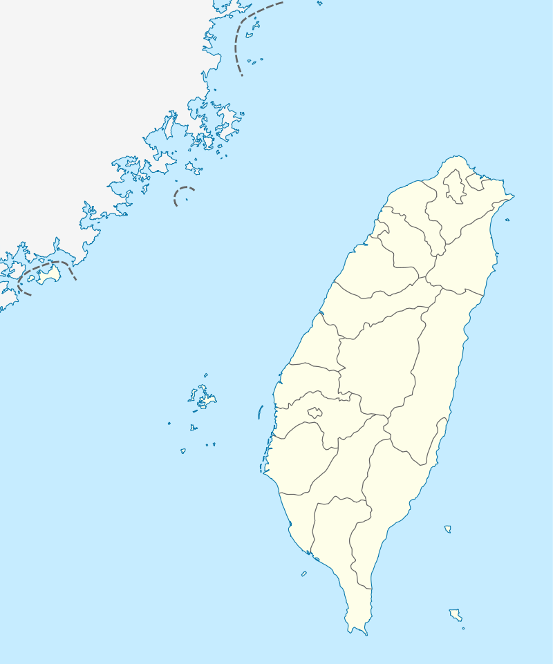 LZN Location of airport in Taiwan | |||||||||||
| Runways | |||||||||||
| |||||||||||
Matsu Nangan Airport (Chinese: 馬祖南竿機場; pinyin: Mǎzǔ Nángān Jīchǎng) (IATA: LZN, ICAO: RCFG) is one of the airports in Matsu Islands, Lienchiang County, Fukien Province, Taiwan (ROC). It is located on the Nangan Island, near the Jieshou Village. It also serves as a heliport. As Uni Air is the only carrier serving the airport, the facility can only handle turboprop planes like the ATR 72-600.
Airlines and destinations
| Airlines | Destinations |
|---|---|
| Uni Air | Taichung, Taipei-Songshan |
Transportation
The airport is accessed by private car or taxis via the only roadway Zhongyang Boulevard.
See also
External links
| Wikimedia Commons has media related to Matsu Nangan Airport. |
- Basic information of the airport (in Traditional Chinese)
- Airport information for RCFG at World Aero Data. Data current as of October 2006.
This article is issued from
Wikipedia.
The text is licensed under Creative Commons - Attribution - Sharealike.
Additional terms may apply for the media files.