Pingtung Airport
| Pingtung Airport North 屏東航空站 屏東機場 Píngdōng Hángkōngzhàn Píngdōng Jīchǎng | |||||||||||
|---|---|---|---|---|---|---|---|---|---|---|---|
 | |||||||||||
| Summary | |||||||||||
| Airport type | Public | ||||||||||
| Operator | Civil Aeronautics Administration | ||||||||||
| Serves | Pingtung, Taiwan | ||||||||||
| Elevation AMSL | 24 m / 78 ft | ||||||||||
| Coordinates | 22°41′43″N 120°28′40″E / 22.69528°N 120.47778°E | ||||||||||
| Map | |||||||||||
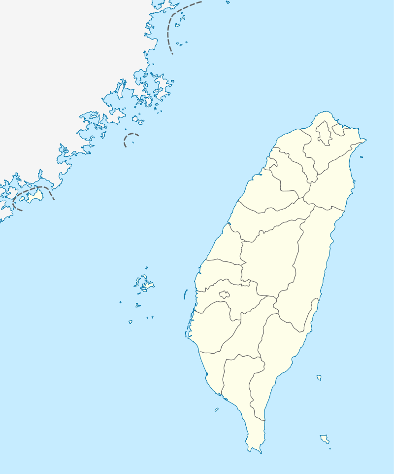 PIF Location of airport in Taiwan | |||||||||||
| Runways | |||||||||||
| |||||||||||
| Pingtung Airport South / Pingtung AFB 空軍屏東基地 Kōngjūn Píngdōng Jīdì | |||||||||||
|---|---|---|---|---|---|---|---|---|---|---|---|
| Summary | |||||||||||
| Airport type | Public | ||||||||||
| Operator | Ministry of National Defense | ||||||||||
| Serves | Pingtung City | ||||||||||
| Elevation AMSL | 24 m / 78 ft | ||||||||||
| Coordinates | 22°40′20″N 120°27′42″E / 22.67222°N 120.46167°E | ||||||||||
| Runways | |||||||||||
| |||||||||||
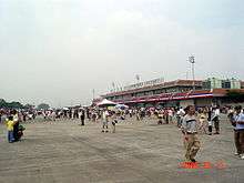
Pingtung Airport (Chinese: 屏東機場; pinyin: Píngdōng Jīchǎng) are two airports in Pingtung City, Pingtung County, Taiwan (IATA: PIF, ICAO: RCSQ). The two airports are under the control of the Civil Aeronautics Administration. Pingtung Airport was established on 28 November 1994 at the old art exhibition hall at the Pingtung Culture Centre. This northern terminal was designated the public airport terminal, while the south part became the Republic of China Air Force base.[1]
With the completion of the new building on 17 May 2005, the airport relocated to the southern airfield. The airports plan is to eventually relocate back to the north facilities.
Military Operations
Pingtung Airbase is home to 439th Combined Wing (439聯隊):
- 20th Electronic Warfare Group, 2nd Early Warning Squadron and 6th Electronic Warfare Squadron - flying E-2T ASW aircraft from the Republic of China Navy
- 10th Tactical Airlift Group (101st Airlift Squadron and 102nd Airlift Squadron) - flying C-130HE tactical transports
The 103rd Squadron flying C-119G/L transport were all retired 1997-1998.
See also
References
- ↑ "(PIF) Pingtung Airport". Flightstats.com. Retrieved 2014-05-15.