Sylamore Scenic Byway
| |
|---|---|
 Sylamore Scenic Byway
 State highways | |
| Route information | |
| Length | 26.5 mi[1] (42.6 km) |
| Existed | February 8, 1989[2] – present |
| Major junctions | |
| South end |
|
| North end |
|
| Location | |
| Counties | Stone |
| Highway system | |
|
National Forest Scenic Byway | |


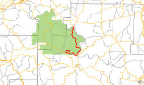
The Sylamore Scenic Byway is a scenic route in the Arkansas Scenic Byways program. The route runs through the Ozark National Forest in Arkansas for 26.5 miles (42.6 km) in Stone County.[1] It passes through undeveloped forest land as a scenic route to Blanchard Springs Caverns.
Route description
The Sylamore Scenic Byway begins at the National Park Service Blanchard Springs Caverns Visitor Center. The and the Mirror Lake Historic District, which is listed on the National Register of Historic Places. The route runs west along Forest Highway 1110. It turns onto Highway 14, which winds east past an intersection with Highway 87 to Allison near the White River. The Sylamore Creek Byway begins an overlap with Highway 5 and Highway 9 northbound, following the White River and passing the Miles Jeffery Barn. It passes through Optimus, an unincorporated community, before terminating at a bridge over the White River.[1]
History
The Sylamore Scenic Byway was designated as a National Forest Scenic Byway on February 8, 1989.[2]
Major intersections
| County | Location | mi | km | Destinations | Notes |
|---|---|---|---|---|---|
| Stone | Blanchard Springs | 0.0 | 0.0 | Byway begins at | Southern terminus |
| | End FS 1110 overlap, begin AR 14 overlap | ||||
| Allison | 7.1 | 11.4 | Begin AR 5/AR 9 overlap, end AR 14 overlap, | ||
| White River | 26.5 | 42.6 | Stone–Izard county line; northern terminus | ||
| Izard | | Continuation into Izard County | |||
1.000 mi = 1.609 km; 1.000 km = 0.621 mi
| |||||
Gallery
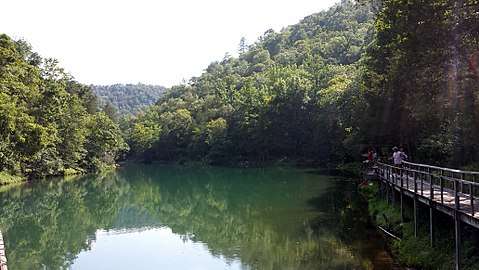 Mirror Lake Historic District
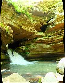 Blanchard Springs
 Blanchard Springs Caverns
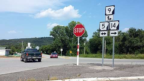 Byway turns left
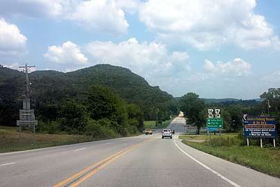 The Byway
See also


- List of Arkansas state highways
References
- 1 2 3 Arkansas State Highway and Transportation Department (October 6, 2016). General Highway Map, Stone County, Arkansas (PDF) (Map). 1:62500. Arkansas State Highway and Transportation Department. Retrieved December 20, 2017.
- 1 2 Staff. "Official Designations". Sylamore Scenic Byway. Federal Highway Administration. Missing or empty
|url=(help);|access-date=requires|url=(help)
External links
Route map:
