Svetićevo
| Svetićevo Светићево | |
|---|---|
| Village | |
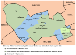 Map of the Bačka Topola municipality showing the location of Svetićevo | |
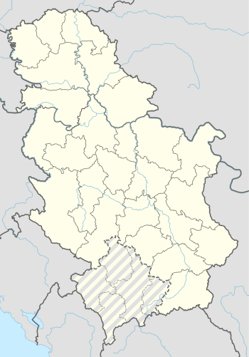 Svetićevo Map of the Bačka Topola municipality showing the location of Svetićevo | |
| Coordinates: 45°48′N 19°51′E / 45.800°N 19.850°E | |
| Country |
|
| Province |
|
| Population (2002) | |
| • Total | 205 |
| Time zone | UTC+1 (CET) |
| • Summer (DST) | UTC+2 (CEST) |
Svetićevo (Serbian Cyrillic: Светићево) is a village in Serbia. It is situated in the Bačka Topola municipality, in the North Bačka District, Vojvodina province. The village has a Serb ethnic majority and its population numbering 205 people (2002 census).
Name
In Serbian the village is known as Svetićevo (Светићево); in Hungarian as Szvetityevo, Székelytornyos or Istenkeze; and in Croatian as Svetićevo.
Historical population
- 1961: 1,292
- 1971: 1,148
- 1981: 257
- 1991: 229
- 2002: 205
References
- Slobodan Ćurčić, Broj stanovnika Vojvodine, Novi Sad, 1996.
See also
Cities, towns and villages in the North Bačka District | ||
|---|---|---|
| Subotica | 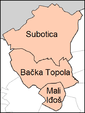 | |
| Bačka Topola | ||
| Mali Iđoš | ||
(*) bold are municipalities or cities | ||
This article is issued from
Wikipedia.
The text is licensed under Creative Commons - Attribution - Sharealike.
Additional terms may apply for the media files.