Stour Provost
| Stour Provost | |
|---|---|
 Stour Provost | |
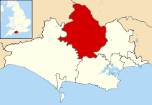
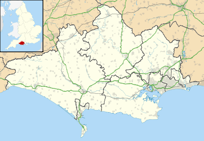 Stour Provost Stour Provost shown within Dorset | |
| Population | 579 |
| OS grid reference | ST793215 |
| District | |
| Shire county | |
| Region | |
| Country | England |
| Sovereign state | United Kingdom |
| Police | Dorset |
| Fire | Dorset and Wiltshire |
| Ambulance | South Western |
| EU Parliament | South West England |
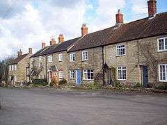
Stour Provost is a village and civil parish in the Blackmore Vale area of north Dorset, England, situated on the River Stour between Sturminster Newton and Gillingham. In old writings it is usually spelled Stower Provost.
Stour Provost once constituted a liberty, containing only the parish itself. Today the civil parish includes the settlements of Woodville and Stour Row to the east.[1] In the 2011 census the civil parish had 235 households and a population of 579.[2]
After the establishment of Stour Provost village near the River Stour, at least four smaller settlements were established in a piecemeal fashion from the 13th century - or perhaps earlier - in the common land or "waste" further east, at Woodville and beyond. These small groups of farms, with their own irregular shaped fields, were separated by unenclosed "waste" probably until the 18th century, when it was enclosed and divided into rectilinear fields.[3]
The nearest railway station is in neighbouring Gillingham, Dorset. Trains run on the Exeter to Waterloo line.
See also
References
- ↑ North Dorset District Council (c. 1983). North Dorset District Official Guide. Home Publishing Co. Ltd. pp. 47–9.
- ↑ "Area: Stour Provost (Parish). Key Figures for 2011 Census: Key Statistics". Neighbourhood Statistics. Office for National Statistics. Retrieved 6 February 2015.
- ↑ "'Stour Provost', in An Inventory of the Historical Monuments in Dorset, Volume 4, North (London, 1972), pp. 79-84". British History Online. University of London. Retrieved 16 March 2015.
External links
| Wikimedia Commons has media related to Stour Provost. |