Sonora Township, Hancock County, Illinois
| Sonora Township | |
|---|---|
| Township | |
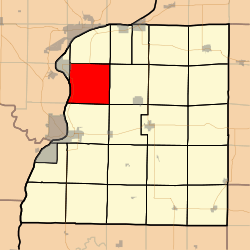 Location in Hancock County | |
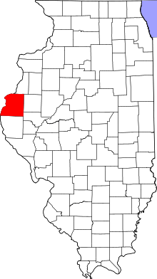 Hancock County's location in Illinois | |
| Coordinates: 40°30′12″N 91°18′10″W / 40.50333°N 91.30278°WCoordinates: 40°30′12″N 91°18′10″W / 40.50333°N 91.30278°W | |
| Country |
|
| State |
|
| County | Hancock |
| Established | November 6, 1849 |
| Area | |
| • Total | 37.52 sq mi (97.2 km2) |
| • Land | 35.79 sq mi (92.7 km2) |
| • Water | 1.73 sq mi (4.5 km2) 4.61% |
| Elevation | 659 ft (201 m) |
| Population (2010) | |
| • Estimate (2016)[1] | 482 |
| • Density | 13.8/sq mi (5.3/km2) |
| Time zone | UTC-6 (CST) |
| • Summer (DST) | UTC-5 (CDT) |
| ZIP codes | 62318, 62341, 62354, 62358 |
| FIPS code | 17-067-70499 |
Sonora Township is one of twenty-four townships in Hancock County, Illinois, USA. As of the 2010 census, its population was 494 and it contained 234 housing units.[2]
Geography
According to the 2010 census, the township has a total area of 37.52 square miles (97.2 km2), of which 35.79 square miles (92.7 km2) (or 95.39%) is land and 1.73 square miles (4.5 km2) (or 4.61%) is water.[2]
Cities, towns, villages
- Nauvoo (east edge)
Unincorporated towns
(This list is based on USGS data and may include former settlements.)
Extinct towns
(These towns are listed as "historical" by the USGS.)
Cemeteries
The township contains these seven cemeteries: Nauvoo City, Nauvoo Two, Oak Grove, Pioneer Saints, Saints Peter and Paul, Sterns and Thornber.
Major highways
Airports and landing strips
- Cedar Ridge Airport
- Sinele Strip
Landmarks
- Mormon Cemetery
- Oak Grove Cemetery
- Sterne Cemetery
Demographics
| Historical population | |||
|---|---|---|---|
| Census | Pop. | %± | |
| Est. 2016 | 482 | [1] | |
| U.S. Decennial Census[3] | |||
School districts
- Hamilton Community Consolidated School District 328
- Nauvoo-Colusa Community Unit School District 325
Political districts
- Illinois's 18th congressional district
- State House District 94
- State Senate District 47
References
- United States Census Bureau 2008 TIGER/Line Shapefiles
- "Sonora Township". Geographic Names Information System. United States Geological Survey. Retrieved 2009-09-20.
- United States National Atlas
- 1 2 "Population and Housing Unit Estimates". Retrieved June 9, 2017.
- 1 2 "Population, Housing Units, Area, and Density: 2010 - County -- County Subdivision and Place -- 2010 Census Summary File 1". United States Census. Retrieved 2013-05-28.
- ↑ "Census of Population and Housing". Census.gov. Retrieved June 4, 2016.
External links
Places adjacent to Sonora Township, Hancock County, Illinois | |
|---|---|
Municipalities and communities of Hancock County, Illinois, United States | ||
|---|---|---|
| Cities | ||
| Town | ||
| Villages | ||
| Townships | ||
| Unincorporated communities | ||
| Footnotes | ‡This populated place also has portions in an adjacent county or counties | |
This article is issued from
Wikipedia.
The text is licensed under Creative Commons - Attribution - Sharealike.
Additional terms may apply for the media files.