Siruela
| Siruela | ||
|---|---|---|
| municipality | ||
| ||
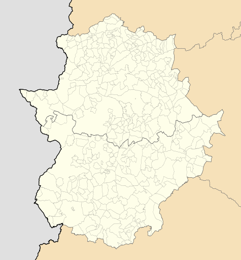 Siruela Location of Siruela within Extremadura | ||
| Coordinates: 38°58′39″N 5°2′57″W / 38.97750°N 5.04917°WCoordinates: 38°58′39″N 5°2′57″W / 38.97750°N 5.04917°W | ||
| Country | Spain | |
| Autonomous community | Extremadura | |
| Province | Badajoz | |
| Area | ||
| • Total | 202 km2 (78 sq mi) | |
| Elevation | 519 m (1,703 ft) | |
| Population (2017) | ||
| • Total | 1,944 | |
| • Density | 9.6/km2 (25/sq mi) | |
| Time zone | UTC+1 (CET) | |
| • Summer (DST) | UTC+2 (CEST) | |
.svg.png)
Siruela is a municipality located in the province of Badajoz, Extremadura, Spain. According to the 2006 census (INE), the municipality has a population of 2,214 inhabitants.
This article is issued from
Wikipedia.
The text is licensed under Creative Commons - Attribution - Sharealike.
Additional terms may apply for the media files.