Garbayuela
| Garbayuela | ||
|---|---|---|
| ||
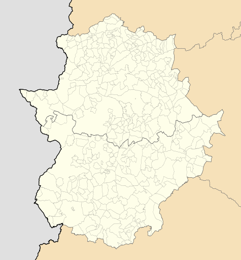 Garbayuela Location of Garbayuela within Extremadura | ||
| Coordinates: 39°2′56″N 5°00′2″W / 39.04889°N 5.00056°W | ||
| Country | Spain | |
| Autonomous community | Extremadura | |
| Province | Badajoz | |
| Municipality | Garbayuela | |
| Area | ||
| • Total | 84 km2 (32 sq mi) | |
| Elevation | 487 m (1,598 ft) | |
| Population (2016) | ||
| • Total | 530 | |
| • Density | 6.3/km2 (16/sq mi) | |
| Time zone | UTC+1 (CET) | |
| • Summer (DST) | UTC+2 (CEST) | |

Garbayuela (Spanish pronunciation: [ɡaɾ.βaˈʝwe.la]) is a municipality located in the province of Badajoz, Extremadura, Spain. According to the 2006 census (INE), the municipality had a population of 531.
Coordinates: 39°03′N 4°59′W / 39.050°N 4.983°W
This article is issued from
Wikipedia.
The text is licensed under Creative Commons - Attribution - Sharealike.
Additional terms may apply for the media files.