Shyamnagar Upazila
| Shyamnagar শ্যামনগর | |
|---|---|
| Upazila | |
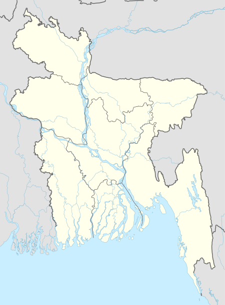
 Shyamnagar Location in Bangladesh | |
| Coordinates: 22°19.8′N 89°6.2′E / 22.3300°N 89.1033°ECoordinates: 22°19.8′N 89°6.2′E / 22.3300°N 89.1033°E | |
| Country |
|
| Division | Khulna Division |
| District | Satkhira District |
| Area | |
| • Total | 1,968.24 km2 (759.94 sq mi) |
| Population (2011) | |
| • Total | 265,004 |
| • Density | 130/km2 (350/sq mi) |
| Time zone | UTC+6 (BST) |
| Website | Official Map of Shyamnagar |
Shyamnagar (Bengali: শ্যামনগর) is an Upazila of Satkhira District in the Division of Khulna, Bangladesh.
Geography
Shyamnagar is located at 22°19′50″N 89°06′10″E / 22.3306°N 89.1028°E . It has 46,592 households and a total area of 1968.24 km².
Shyamnagar Upazila is bordered by Kaliganj (Satkhira) and Assasuni upazilas to the north, the Sundarbans and Bay of Bengal to the south, Koyra and Assasuni upazilas to the east and Hingalganj (community development block) in North 24 Parganas district in the Indian state of West Bengal to the west. The main rivers here are: Raymangal, Kalindi, Kobadak, Kholpetua, Arpangachhia, Malancha, Hariabhanga and Chuna. South Talpatti Island at the estuary of the Hariabhanga is notable.
Shyamnagar town consists of 5 mouzas and 13 villages. The area of the town is 10.76 km². The town has a population of 11,021; 52.36% male and 47.64% female. The population density is 1024 per km². Literacy rate among the town people is 37.3%. The town has three dakbungalows and a BDR Headquarters.
Shyamnagar Thana was turned into an upazila in 1982. It consists of 12 union parishads, 127 mouzas and 216 villages. The average literacy in the entire upazila is 28.1%, comprising 38% among males and 17.4% among females. There are five colleges, 28 high schools, 98 madrasas and 96 government primary schools. The main occupation of the people is agriculture, 32.93% of whom are engaged with this work. The main exports are Paddy, jute and shrimp. Shyamnagar is the largest thana of Bangladesh.
Demographics
As of the 1991 Bangladesh census, Shyamnagar has a population of 265004. Males constitute 50.46% of the population, and females 49.54%. This Upazila's eighteen up population is 132516. Shyamnagar has an average literacy rate of 28.2% (7+ years), and the national average of 32.4% literate.[1]
Administration
Shyamnagar has 12 Unions/Wards, 127 Mauzas/Mahallas, and 216 villages. The unions
- Bhurulia
- Kashimari
- Shyamnagar Sadar
- Nurnagar
- koikhali
- Ramjannagar
- Munshigonj
- Iswaripur
- Burigoaliny
- Atulia
- Padmapukur
- Gabura, which was the most severely affected union of Satkhira district by cyclone Aila
See also
References
- ↑ "Population Census Wing, BBS". Archived from the original on 2005-03-27. Retrieved November 10, 2006.
External links
- Rahman, Mizanur (2012). "Shyamnagar Upazila". In Islam, Sirajul; Jamal, Ahmed A. Banglapedia: National Encyclopedia of Bangladesh (Second ed.). Asiatic Society of Bangladesh.
