Sharneyford
| Sharneyford | |
|---|---|
%2C_Sharneyford_(geograph_2137885).jpg) Todmorden Road (A681) | |
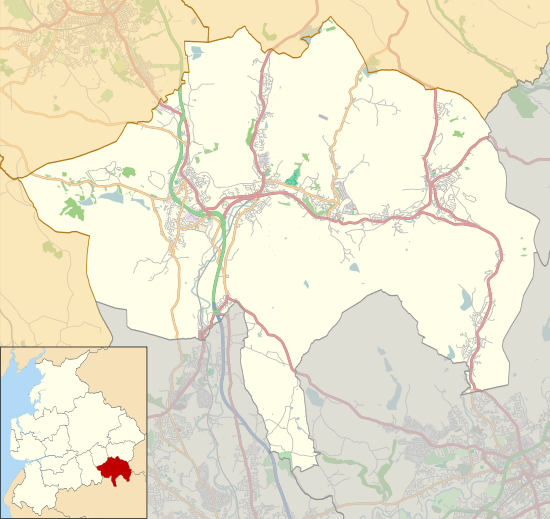 Sharneyford Location within Rossendale  Sharneyford Sharneyford shown within Lancashire | |
| OS grid reference | SD881243 |
| District | |
| Shire county | |
| Region | |
| Country | England |
| Sovereign state | United Kingdom |
| Post town | BACUP |
| Postcode district | OL13 |
| Dialling code | 01706 |
| Police | Lancashire |
| Fire | Lancashire |
| Ambulance | North West |
| EU Parliament | North West England |
| UK Parliament | |
Sharneyford is a hamlet in Lancashire, Engalnd, on the A681 road between Bacup and Todmorden. It is home to one of the smallest schools in Britain, Sharneyford Primary School. Sharneyford Mill, located north of the school, was once the highest in England, at around 1,250 feet (380 m) above sea level;[1] it has now been demolished. Further up the hill there was a chapel, which was replaced by church further down the hill; the chapel became an engine-house for the railway that provided transport to and from the mill, when the mill was destroyed, the engine-house was emptied and abandoned.
References
- ↑ Newbigging, Thomas (1893). History of the forest of Rossendale. J.J. Riley. p. 269. Retrieved 2012-05-26.
External links
![]()
This article is issued from
Wikipedia.
The text is licensed under Creative Commons - Attribution - Sharealike.
Additional terms may apply for the media files.