Scotchmans Lead, Victoria
| Scotchmans Lead Victoria | |
|---|---|
 Scotchmans Lead | |
| Coordinates | 37°40′S 143°51′E / 37.667°S 143.850°ECoordinates: 37°40′S 143°51′E / 37.667°S 143.850°E |
| Population | 97 (2016 census)[1] |
| Postcode(s) | 3352 |
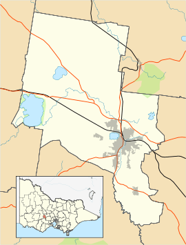
| LGA(s) | City of Ballarat |
| State electorate(s) | Buninyong |
| Federal Division(s) | Ballarat |
Scotchmans Lead, a rural locality 6 km (3.7 statute miles) from Buninyong, in South Western Victoria, Australia, sits between the Yarrowee River, Midland Highway and Scotchmans Lead Road. It has recently been renamed Scotchmans Lead from Yarrowee, after a proposal by the Ballarat City Council to change its name back to its historic days.
Scotchmans Lead was once a prominent mining area and farming area, with many properties still rearing animals such as cows and horses. The former Scotchmans Lead school, itself originally a church, has recently been turned into a bed-and-breakfast.
Scotchman's Lead Post Office opened on 17 January 1865, was renamed Yarrowee in 1875, and closed in 1961.[2]
References
- ↑ Australian Bureau of Statistics (27 June 2017). "Scotchmans Lead (State Suburb)". 2016 Census QuickStats. Retrieved 19 March 2018.

- ↑ Premier Postal History, Post Office List, retrieved 2008-04-11
|
This article is issued from
Wikipedia.
The text is licensed under Creative Commons - Attribution - Sharealike.
Additional terms may apply for the media files.