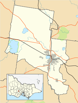
Cardigan, Victoria
| Cardigan Ballarat, Victoria | |||||||||||||||
|---|---|---|---|---|---|---|---|---|---|---|---|---|---|---|---|
 Cardigan | |||||||||||||||
| Coordinates | 37°32′13″S 143°44′38″E / 37.5370°S 143.7439°ECoordinates: 37°32′13″S 143°44′38″E / 37.5370°S 143.7439°E | ||||||||||||||
| Population | 754 (2016 census)[1] | ||||||||||||||
| Postcode(s) | 3352 | ||||||||||||||
| LGA(s) | City of Ballarat | ||||||||||||||
| State electorate(s) | Ripon | ||||||||||||||
| Federal Division(s) | Ballarat | ||||||||||||||
| |||||||||||||||
Cardigan is a suburb on the north-western rural-urban fringe of Ballarat in Victoria, Australia. At the 2016 census, Cardigan had a population of 754.[1]
Cardigan Post Office opened 1 January 1861 and was closed on 30 June 1975.[2]
References
- 1 2 Australian Bureau of Statistics (27 June 2017). "Cardigan (State Suburb)". 2016 Census QuickStats. Retrieved 9 December 2014.

- ↑ Premier Postal History, Post Office List, retrieved April 19, 2012
|
This article is issued from
Wikipedia.
The text is licensed under Creative Commons - Attribution - Sharealike.
Additional terms may apply for the media files.