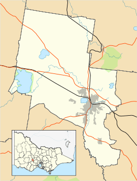
Magpie, Victoria
| Magpie Ballarat, Victoria | |||||||||||||||
|---|---|---|---|---|---|---|---|---|---|---|---|---|---|---|---|
 Magpie | |||||||||||||||
| Coordinates | 37°37′55″S 143°49′55″E / 37.632°S 143.832°ECoordinates: 37°37′55″S 143°49′55″E / 37.632°S 143.832°E | ||||||||||||||
| Population | 371 (2016 census)[1] | ||||||||||||||
| Established | c.1855 | ||||||||||||||
| Postcode(s) | 3352 | ||||||||||||||
| Location | 6 km (4 mi) from Ballarat Central | ||||||||||||||
| LGA(s) | City of Ballarat | ||||||||||||||
| State electorate(s) | Buninyong | ||||||||||||||
| Federal Division(s) | Ballarat | ||||||||||||||
| |||||||||||||||
Magpie is a suburb in Ballarat, Victoria, Australia. During the 1850s, gold was found at Frenchmans Lead, which essentially created the township.[2]
The population at the 2016 census was 371.[1]
The town is home to Magpie Primary School. A small school, it attracts fewer than 100 students.[3]
References
- 1 2 Australian Bureau of Statistics (27 June 2017). "Magpie (State Suburb)". 2016 Census QuickStats. Retrieved 7 July 2017.

- ↑ "Magpie".
- ↑ https://www.myschool.edu.au/SchoolProfile/Index/97097/MagpiePrimarySchool/44450/2015
|
This article is issued from
Wikipedia.
The text is licensed under Creative Commons - Attribution - Sharealike.
Additional terms may apply for the media files.