Saposoa Airport
| Saposoa Airport | |||||||||||
|---|---|---|---|---|---|---|---|---|---|---|---|
| Summary | |||||||||||
| Airport type | Public | ||||||||||
| Serves | Saposoa | ||||||||||
| Elevation AMSL | 1,148 ft / 350 m | ||||||||||
| Coordinates | 6°57′25″S 76°46′10″W / 6.95694°S 76.76944°WCoordinates: 6°57′25″S 76°46′10″W / 6.95694°S 76.76944°W | ||||||||||
| Map | |||||||||||
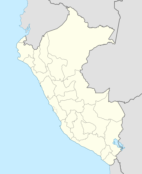 SPOA Location of the airport in Peru | |||||||||||
| Runways | |||||||||||
| |||||||||||
Saposoa Airport (ICAO: SPOA) is an airport serving the town of Saposoa in the San Martín Region of Peru. The runway is 1.6 kilometres (0.99 mi) south of the town, on the opposite side of the Saposoa River.
On November 5, 1994, a Yakovlev Yak-40 trijet (registration OB-1569) belonging to Amazonic Air Services (Servicios Aéreos Amazónicos), a now-defunct regional airline, that was serving the Trujillo-Saposoa-Juanjuí-Tocache-Lima schedule, crashed into the aforementioned river after overrunning the airstrip during landing. The aircraft crashed due to heavy rain reported at the time. Of the 31 occupants (26 passengers and 5 crew) 5 passengers and 1 crewmen died.[3][4][5]
See also
References
- ↑ Airport information for Saposoa Airport at Great Circle Mapper.
- ↑ Google Maps - Saposoa
- ↑ http://aviation-safety.net/database/record.php?id=19941105-0
- ↑ "Archived copy". Archived from the original on 2015-09-23. Retrieved 2013-10-13.
- ↑ http://www.apnewsarchive.com/1994/Plane-Crashes-in-Peruvian-Jungle-At-Least-20-Injured/id-f45bcb9f15e7dc59446f79933bb2309b
External links
This article is issued from
Wikipedia.
The text is licensed under Creative Commons - Attribution - Sharealike.
Additional terms may apply for the media files.