Sant Joan les Fonts
| Sant Joan les Fonts | ||
|---|---|---|
| Municipality | ||
.jpg) | ||
| ||
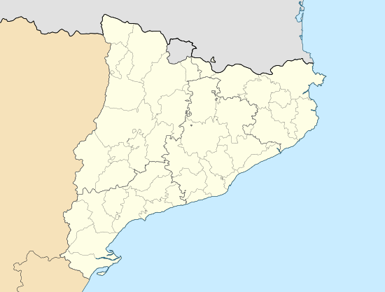
 Sant Joan les Fonts Location in Catalonia  Sant Joan les Fonts Sant Joan les Fonts (Spain) | ||
| Coordinates: 42°12′54″N 2°30′50″E / 42.21500°N 2.51389°E | ||
| Country |
| |
| Autonomous community |
| |
| Province | Girona | |
| Comarca | Garrotxa | |
| Government | ||
| • Mayor | Joan Espona Agustín (2015)[1] (Convergence and Union) | |
| Area[2] | ||
| • Total | 31.9 km2 (12.3 sq mi) | |
| Elevation | 342 m (1,122 ft) | |
| Population (2014)[1] | ||
| • Total | 2,919 | |
| • Density | 92/km2 (240/sq mi) | |
| Demonym(s) | Santjoanenc | |
| Website |
www | |
Sant Joan les Fonts is a municipality of the comarca of Garrotxa, located in Girona, Catalonia, northern Spain. As of 2014, the population is 2,919.[3] Until 1949 it was known as Begudà.
It is part of the Garrotxa Volcanic Zone Natural Park.
The municipality

It is the second most populous municipality of Garrotxa (after Olot). It is located at the confluence linking Girona to Olot, Figueres and Camprodón. It is crossed by the river Fluvià, which has been the engine behind the population's industrial development. Industry is the most developed sector in the municipality, followed by agriculture.
History
The earliest core of the town was formed in the ninth century. Earthquakes in the years 1427 and 1428 most of the collapsed buildings. A recovery began in the area, with small population centers, that was hampered by civil war in the fifteenth century. During the 17th century, it lived through an age of crisis, aggravated by the War of the Spanish Succession .
There was no significant population growth until the eighteenth century, with the incorporation of immigrants from Olot and the vicinity. Later, war resulted in another decline of the population, a decline that continued throughout the 19th century. The 1854 cholera epidemic wreaked havoc.
During the 20th century, there was a social and economic revival, despite the 1936 civil war and the Franco dictatorship.
Population
- Begudà, 248 inhabitants
- La Canya, 557 inhabitants
- El Pla de Baix, 39 inhabitants
- El Pla de Dalt, 54 inhabitants
- Sant Cosme, 100 inhabitants
- Sant Joan les Fonts, 1,761 inhabitants
Main sights
Monestir de Sant Joan les Fonts is s a Romanesque building, declared a national monument.
The medieval bridge, built with volcanic stone, crosses the river Fluvià and links the core of the town with the existing church and the Castanyer neighborhood.
A fortress located at the Serra de Vivers. From this point one can observe the entire landscape of Garrotxa, from Besalú through the valley of Olot and the valley de Bianya. The Canadell Tower is a four-story square building with "espitlleres" on all four sides and a terrace roof. It was once surrounded by ramparts.
The Juvinyà estate is known as the oldest Romanesque civil building in Catalonia. It is located along the Fluvià river. It is a fortified manor house with two parts, the defensive tower and main building. It was declared a provincial monument in 1972.
An area of archeological interest also known for the lava flow that formed part of the old lock known as "la Reformada".
Holidays
Various holidays are celebrated:
- The festival of San Isidro, in May.
- The festival of Roser, Easter Monday.
- The main festival, June 24.
- The "pessebre vivent" (nativity scenes), Christmas.
- Begudà celebrates the festival of Santa Eulàlia, and the main festival in the first weekend of August
Twin towns

References
- 1 2 "Ajuntament de Sant Joan les Fonts". Generalitat of Catalonia. Retrieved 2015-11-13.
- ↑ "El municipi en xifres: Sant Joan les Fonts". Statistical Institute of Catalonia. Retrieved 2015-11-23.
- ↑ "Official site of the city of Sant Joan les Fonts" (in Catalan). Retrieved January 27, 2010.
External links
| Wikimedia Commons has media related to Sant Joan les Fonts. |
- City council website
- Government data pages (in Catalan)
