Saint-Élie
| Saint-Élie | |
|---|---|
| Commune | |
.jpg) The Petit-Saut Dam, north-east of the commune | |
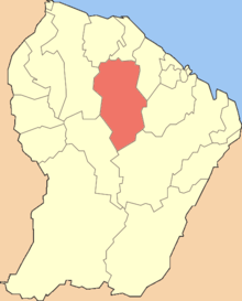 Location of the commune (in red) within French Guiana | |
| Coordinates: 4°49′22″N 53°16′35″W / 4.8227°N 53.2764°WCoordinates: 4°49′22″N 53°16′35″W / 4.8227°N 53.2764°W | |
| Country | France |
| Overseas region and department | French Guiana |
| Arrondissement | Cayenne |
| Government | |
| • Mayor (2014-2020) | Véronique Jacaria |
| Area1 | 5,680 km2 (2,190 sq mi) |
| Population (2012)2 | 285 |
| • Density | 0.050/km2 (0.13/sq mi) |
| INSEE/Postal code | 97358 /97312 |
|
1 French Land Register data, which excludes lakes, ponds, glaciers > 1 km2 (0.386 sq mi or 247 acres) and river estuaries. 2 Population without double counting: residents of multiple communes (e.g., students and military personnel) only counted once. | |
Saint-Élie is a commune of French Guiana, an overseas region and department of France located in South America. It was formerly capital of the Inini territory.
See also
References
| Wikimedia Commons has media related to Saint-Élie. |
This article is issued from
Wikipedia.
The text is licensed under Creative Commons - Attribution - Sharealike.
Additional terms may apply for the media files.