Rubondo Airstrip
| Rubondo Airstrip Uwanja mdogo wa Ndege wa Rubondo | |||||||||||
|---|---|---|---|---|---|---|---|---|---|---|---|
 | |||||||||||
| Summary | |||||||||||
| Airport type | Public | ||||||||||
| Owner | Government of Tanzania | ||||||||||
| Operator | Tanzania National Parks Authority | ||||||||||
| Location | Rubondo Island, Tanzania | ||||||||||
| Elevation AMSL | 3,730 ft / 1,137 m | ||||||||||
| Coordinates | 2°18′00″S 31°51′00″E / 2.30000°S 31.85000°ECoordinates: 2°18′00″S 31°51′00″E / 2.30000°S 31.85000°E | ||||||||||
| Website |
www | ||||||||||
| Map | |||||||||||
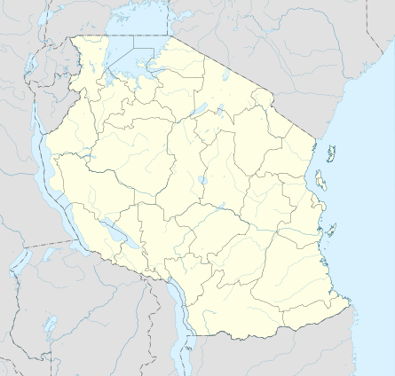 Rubondo Location of airstrip in Tanzania  Rubondo Rubondo (Africa) | |||||||||||
| Runways | |||||||||||
| |||||||||||

The Rubondo Airstrip lounge
Rubondo Airstrip (TCAA designation: TZ-0023) is an airstrip serving Rubondo Island National Park in the Geita Region of northern Tanzania. The mostly uninhabited game reserve island is in the southwestern tip of Lake Victoria.
Airlines and destinations
| Airlines | Destinations |
|---|---|
| Auric Air | Bukoba, Mwanza[3] |
| Coastal Aviation | Grumeti, Kogatende, Manyara, Mwanza, Ndutu, Seronera, Zanzibar |
See also


- List of airports in Tanzania
- Transport in Tanzania
References
- ↑ "List of Aerodromes in Tanzania" (PDF). Tanzania Civil Aviation Authority. Retrieved 4 April 2013.
- ↑ Google Maps - Rubondo
- ↑ "Flight Schedule" (PDF). Auric Air. 1 January 2012. Retrieved 29 January 2013.
External links
This article is issued from
Wikipedia.
The text is licensed under Creative Commons - Attribution - Sharealike.
Additional terms may apply for the media files.