Same Airstrip
| Same Airstrip Uwanja mdogo wa Ndege wa Same | |||||||||||
|---|---|---|---|---|---|---|---|---|---|---|---|
| Summary | |||||||||||
| Airport type | Public | ||||||||||
| Owner | Government of Tanzania | ||||||||||
| Operator | Tanzania Airports Authority | ||||||||||
| Serves | Same, Tanzania | ||||||||||
| Elevation AMSL | 3,000 ft / 914 m | ||||||||||
| Coordinates | 4°03′13″S 37°47′25″E / 4.05361°S 37.79028°ECoordinates: 4°03′13″S 37°47′25″E / 4.05361°S 37.79028°E | ||||||||||
| Website |
www | ||||||||||
| Map | |||||||||||
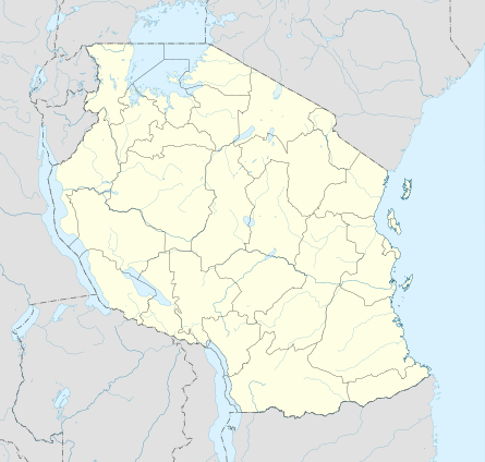 HTSE Location of airstrip in Tanzania | |||||||||||
| Runways | |||||||||||
| |||||||||||
Same Airstrip (ICAO: HTSE) is an airstrip serving the town of Same in the Kilimanjaro Region of Tanzania.
The runway is 5 kilometres (3.1 mi) northeast of the town, near the Mkomazi National Park. There is rising and mountainous terrain in all quadrants except east.
The Kilimanjaro VOR-DME (Ident: KV) is located 55 nautical miles (101.9 km) northwest of the airstrip.[4]
See also

- List of airports in Tanzania
- Transport in Tanzania
References
- ↑ Google Maps - Same
- ↑ Airport information for Same Airstrip at Great Circle Mapper.
- ↑ "List of Aerodromes in Tanzania" (PDF). Tanzania Civil Aviation Authority. Retrieved 4 April 2013.
- ↑ "Kilimanjaro VOR-DME (KV) @ OurAirports". ourairports.com. Retrieved 2018-08-28.
External links
- Tanzania Airports Authority
- OurAirports - Same
- OpenStreetMap - Same
- Accident history for Same Airport at Aviation Safety Network
This article is issued from
Wikipedia.
The text is licensed under Creative Commons - Attribution - Sharealike.
Additional terms may apply for the media files.