Rohrdorf, Bavaria
| Rohrdorf | ||
|---|---|---|
| ||
 Rohrdorf Location of Rohrdorf within Rosenheim district 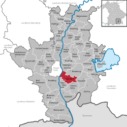 | ||
| Coordinates: 47°47′56″N 12°10′3″E / 47.79889°N 12.16750°ECoordinates: 47°47′56″N 12°10′3″E / 47.79889°N 12.16750°E | ||
| Country | Germany | |
| State | Bavaria | |
| Admin. region | Oberbayern | |
| District | Rosenheim | |
| Government | ||
| • Mayor | Christian Praxl | |
| Area | ||
| • Total | 28.67 km2 (11.07 sq mi) | |
| Elevation | 476 m (1,562 ft) | |
| Population (2017-12-31)[1] | ||
| • Total | 5,780 | |
| • Density | 200/km2 (520/sq mi) | |
| Time zone | CET/CEST (UTC+1/+2) | |
| Postal codes | 83101 | |
| Dialling codes | 08031, 08032 | |
| Vehicle registration | RO | |
| Website | www.rohrdorf.de | |

Rohrdorf is a municipality in the district of Rosenheim in Upper Bavaria, Germany. It is located in the Inn valley.
History
Rohrdorf was first mentioned in 788 in the notitia arnonis.
Evidence of prehistoric settlement in the village has been found.
During World War II, a subcamp of Dachau concentration camp was located here.[2]
References
- ↑ "Fortschreibung des Bevölkerungsstandes". Bayerisches Landesamt für Statistik und Datenverarbeitung (in German). September 2018.
- ↑ "Archived copy". Archived from the original on 2009-02-09. Retrieved 2008-11-01.
This article is issued from
Wikipedia.
The text is licensed under Creative Commons - Attribution - Sharealike.
Additional terms may apply for the media files.