Raubling
| Raubling | ||
|---|---|---|
| ||
 Raubling Location of Raubling within Rosenheim district 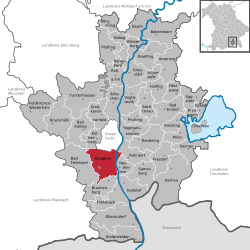 | ||
| Coordinates: 47°47′17″N 12°06′17″E / 47.78806°N 12.10472°ECoordinates: 47°47′17″N 12°06′17″E / 47.78806°N 12.10472°E | ||
| Country | Germany | |
| State | Bavaria | |
| Admin. region | Oberbayern | |
| District | Rosenheim | |
| Government | ||
| • Mayor | Olaf Kalsperger (CSU) | |
| Area | ||
| • Total | 44.20 km2 (17.07 sq mi) | |
| Elevation | 460 m (1,510 ft) | |
| Population (2017-12-31)[1] | ||
| • Total | 11,494 | |
| • Density | 260/km2 (670/sq mi) | |
| Time zone | CET/CEST (UTC+1/+2) | |
| Postal codes | 83064 | |
| Dialling codes | 08035 | |
| Vehicle registration | RO | |
| Website | www.raubling.de | |

Raubling is a municipality in the district of Rosenheim, in Bavaria, Germany. It is situated on the western bank of the Inn, 7 km south of Rosenheim.
References
- ↑ "Fortschreibung des Bevölkerungsstandes". Bayerisches Landesamt für Statistik und Datenverarbeitung (in German). September 2018.
This article is issued from
Wikipedia.
The text is licensed under Creative Commons - Attribution - Sharealike.
Additional terms may apply for the media files.