River Itchen, Warwickshire
| Itchen | |
| River | |
 Bridge carrying a minor road over the River Itchen near Long Itchington | |
| Country | England |
|---|---|
| Region | Warwickshire |
| Source | Wormleighton |
| - location | 52°11′02″N 1°20′50″W / 52.1839°N 1.34724°W |
| - elevation | 150 m (492 ft) |
| Mouth | River Leam |
| - elevation | 63 m (207 ft) |
| - coordinates | 52°19′05″N 1°24′24″W / 52.31797°N 1.4066°WCoordinates: 52°19′05″N 1°24′24″W / 52.31797°N 1.4066°W |
| Length | 28.7 km (18 mi) |
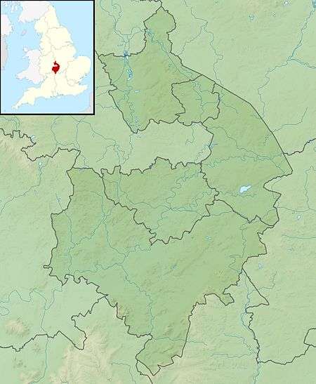 Location of the mouth within Warwickshire | |
The River Itchen flows through east Warwickshire in England. It is a small river, about 18 miles (29 km) long, and its general course is from south to north.
Course
The River Itchen rises near Wormleighton at grid reference SP 447 541 and flows into a broad valley to the northeast of a range of ironstone hills which border Warwickshire and Northamptonshire. Shortly after beginning its course it runs under the Oxford Canal. The infant river is fed by several small brooks and skirts the village of Bishop's Itchington (to which it gives its name) before passing below the former Great Western Railway London to Birmingham railway (now operated by Chiltern Trains).
A mile-and-a-half north of Bishops Itchington, the River Itchen passes under Deppers Bridge which gives its name to the neighbouring hamlet. A mile further on it passes under the A425 main road west of the town of Southam. Immediately after the bridge, it flows through Stoneythorpe Park and passes the hamlet of Bascote. A mile north of Bascote, the Grand Union Canal crosses the Itchen valley on a half-mile long embankment and is carried over the river on an aqueduct.
The River Itchen reaches the large village of Long Itchington (again named from the river) and passes close to the church. West of the village, the river swings to the west briefly and its meandering course is bridged twice by the course of the disused Leamington to Weedon railway line, now a footpath and cycleway.
The River Itchen turns north again and three miles (5 km) further on it reaches Marton where it flows into the River Leam at grid reference SP405690.
History

The river's name is pre-Celtic and of unknown origin.[1] It gives its name to the villages of Bishop's Itchington and Long Itchington that lie along its course.
In 2009 thousands of fish were killed in the River Itchen when poisonous chemicals washed off neighbouring farmland. Later in the year 3500 roach, dace and chub were released into the river to help to replenish stocks.[2]
A section of the river is designated as a Site of Special Scientific Interest, as it "played a significant role in the development of the theory of underfit streams that related change in stream activity to postglacial climatic change and reduced discharges."[3]
References
- ↑ A. D. Mills. A Dictionary of British Place Names. Oxford University Press.
- ↑ "River Itchen gets new fish". Coventry Telegraph. 18 December 2009.
- ↑ "River Itchen" (PDF). Warwickshire County Council.
- Ordnance Survey, 'Pathfinder' series 1:25000 map, sheet 977, ISBN 0-319-20977-6
- Ordnance Survey, 'Landranger' series 1:50000 map, sheet 151
- Warwickshire Railways, Leamington-Weedon line page
External links
Map sources for: Bishop's Itchington (SP 390 576), Long Itchington (SP 415 652) and Marton (SP 405 690).
| Boroughs or districts | |
|---|---|
| Major settlements | |
| Rivers | |
| Canals | |
| Topics | |